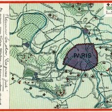
Grand parc de chasse de Louis XIV, Royal hunting grounds near Versailles, France
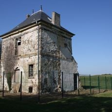
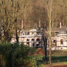
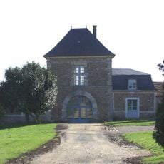
This royal hunting estate is a large forested landscape stretching across multiple municipalities and enclosed by a long wall with guard structures along its perimeter. The terrain contains woodlands, open fields, and village centers that sit within the original boundaries.
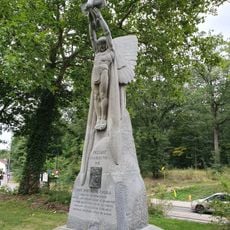
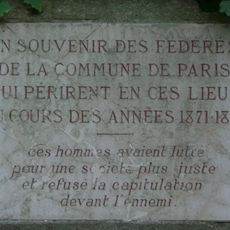
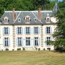
This forestland was established in the late 17th century as a personal hunting domain, formed by bringing together several neighboring lands and settlements. Creating this territory meant major changes for people already living in these places.
The wide radiating paths connect different village areas and shape how people move through the landscape today. You can still see how the land was organized to serve royal purposes, creating links between communities that remain important local routes.
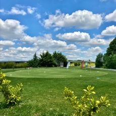
The estate spreads across a large area and is best explored on foot or by bike, as many routes run through natural settings. It helps to have a map or use the various access points from the surrounding villages.
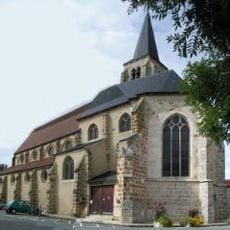
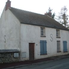
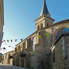
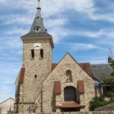
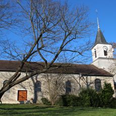
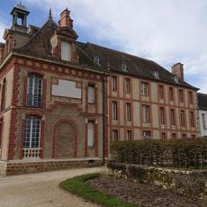
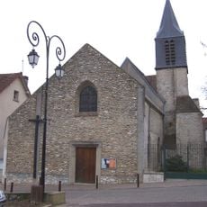
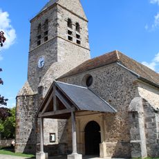
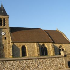
Nine villages that already existed were absorbed into this hunting domain and remained inhabited, creating an unusual mix of rural settlements within royal property. These communities survived within the estate's boundaries and you can still identify their village cores today.
The community of curious travelers
AroundUs brings together thousands of curated places, local tips, and hidden gems, enriched daily by 60,000 contributors worldwide.