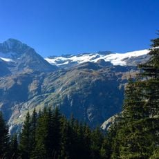
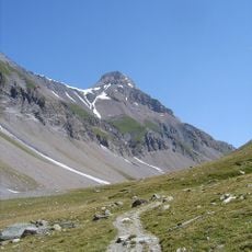
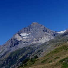
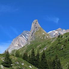
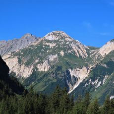
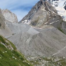
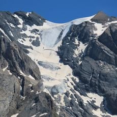
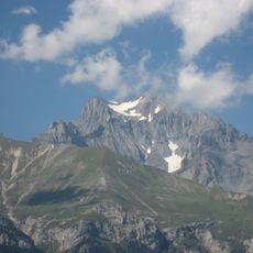
Glaciers de la Vanoise, Ice field in Vanoise National Park, Savoie, France
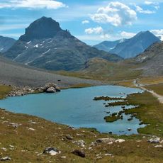
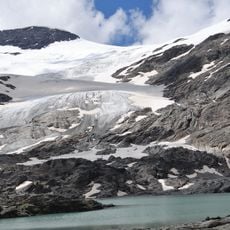
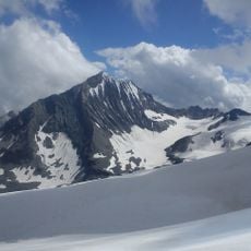
Glaciers de la Vanoise is an ice field over ten kilometres long and about two kilometres wide in the Vanoise massif, between the col de la Vanoise and the dent Parrachée. Its continuous plateau carries rounded snow domes, including the dôme de l'Arpont at 3,599 m, the highest point, and the dômes du Génépy at 3,577 m. Rocky ridges and peaks such as the pointe du Dard break through the white surface, and separate glacier tongues hang from its edges.
These ice masses formed during the last ice age and have shaped the Alpine landscape ever since. Their extent and form continue to change with the climate shifts across centuries.
The glaciers give their name to the Tour des Glaciers de la Vanoise, a hiking circuit that goes around the ice field in four to seven days. The route passes the Refuge de la Vanoise and the Refuge de l'Arpont, and walkers can see the glacier tongues of Rosoire, Génépy and Arpont from the marked trails.
Access requires proper mountaineering gear and guidance from experienced professionals familiar with glacier travel. Summer months offer the most stable conditions for visiting, though careful preparation remains essential.
The ice field is not one glacier but a continuous cap whose edge tongues carry separate names, such as the glacier de l'Arpont, de la Mahure and du Génépy. The highest point of the plateau is the dôme de l'Arpont at 3,599 m, while the dent Parrachée rises to 3,695 m to the south.
The community of curious travelers
AroundUs brings together thousands of curated places, local tips, and hidden gems, enriched daily by 92,846 contributors worldwide.