Lac de Montriond

Log in to your account

AroundUs is a community-driven map of interesting places, built by curious explorers like you. It grows with every review, story, and photo you share.
Connect to save your favorite spots, contribute locations, and create personalized routes.
Continue with Google
Continue with Apple
Continue with X
Continue with Facebook
Continue with email
By continuing, you accept our Terms and Conditions and our Privacy Policy
Create an account
Add to collection
Map
Suggest a change
Share

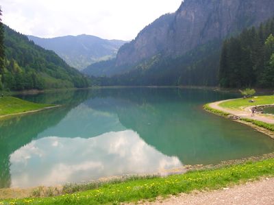
Lac de Montriond, Glacial lake in Montriond, France.

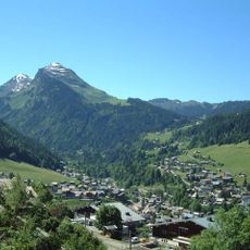
Lac de Montriond is an Alpine lake nestled beneath steep mountain cliffs in Haute-Savoie, with a walking path circling its perimeter. The water reaches depths of about 19 meters and provides space for swimming, paddling, and fishing.

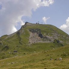
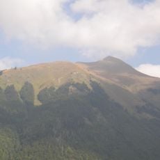
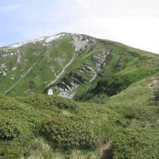
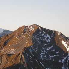
The lake formed several thousand years ago when a landslide from the Nantaux mountain created a natural dam across the river valley. This geological event created the body of water that exists here today.

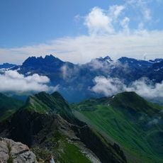
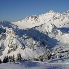
This body of water sits at the heart of the Chablais UNESCO Global Geopark, where visitors can observe how geological forces shaped the Alpine landscape. The cliffs surrounding it tell the story of these natural processes through their exposed rock layers.

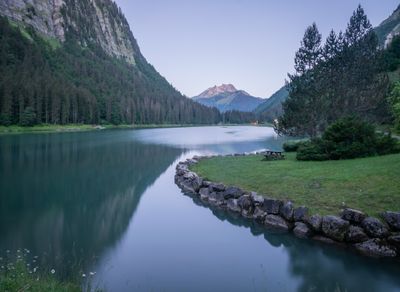
The lake is easily accessible and offers various recreational activities during summer months, including boat rentals and designated swimming areas. The flat walking path around it suits visitors of all abilities and provides the best way to explore the surroundings at a relaxed pace.

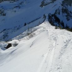
During winter, the water surface freezes solid, creating an unusual diving location where both beginner and experienced divers can explore beneath the ice. This rare activity attracts adventurers seeking the distinctive sensation of ice diving.

Location: Montriond

Inception: 15 century

Elevation above the sea: 1,055 m

Part of: Chablais Geopark

Address: Lac de Montriond, 74110 Montriond, France

GPS coordinates: 46.20833,6.72778

Latest update: December 6, 2025 16:04

Photos
Lakes of Occitanie: Pyrenees, Massif Central, mountain lakes, and reservoir lakes

Occitanie hosts a wide variety of lakes spread between the Pyrenees and the Massif Central. Natural lakes mainly occupy high-altitude zones in the Pyrenees, where glacial erosion has carved out cirques and basins now filled with water. Lake Oô, located at 4,950 feet (1,507 meters) altitude, receives...

Reviews

Visited this place? Tap the stars to rate it and share your experience / photos with the community! Try now! You can cancel it anytime.

« Lac de Montriond - Glacial lake in Montriond, France » is provided by Around Us (aroundus.com). Images and texts are derived from Wikimedia project under a Creative Commons license. You are allowed to copy, distribute, and modify copies of this page, under the conditions set by the license, as long as this note is clearly visible.

Discover hidden gems everywhere you go!

From secret cafés to breathtaking viewpoints, skip the crowded tourist spots and find places that match your style. Our app makes it easy with voice search, smart filtering, route optimization, and insider tips from travelers worldwide. Download now for the complete mobile experience.

Around Us App Screenshot

A unique approach to discovering new places

Le Figaro

All the places worth exploring

France Info

A tailor-made excursion in just a few clicks

20 Minutes