Le Roc d'Enfer, Alpine summit in Bellevaux, France
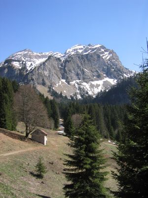
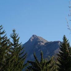
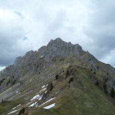
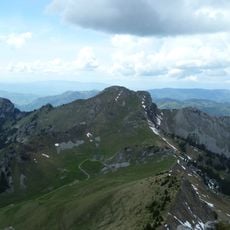
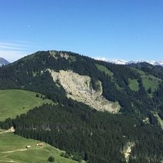
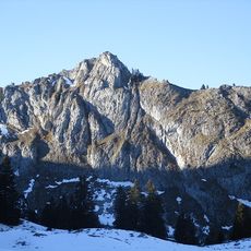
Le Roc d'Enfer is an alpine peak in the Chablais Alps that rises to 2244 meters with four separate summits, steep limestone faces, and jagged rock ridges. The mountain's structure comes from layered sedimentary rocks that have been pushed and tilted by ancient geological forces.
This mountain formed millions of years ago when tectonic plates collided and thrust layers of sedimentary rock upward and over one another. It belongs to the Brèche nappe, a regional geological structure that took shape during the Alpine mountain-building period.
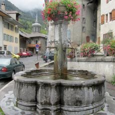
The name 'Roc d'Enfer' comes from the dark silhouette that looms over Bellevaux valley like a menacing presence. Locals instantly recognize this distinctive shape, and it remains deeply rooted in the region's identity.
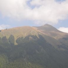
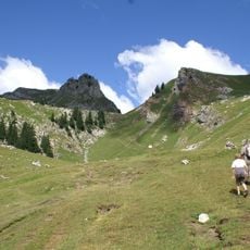
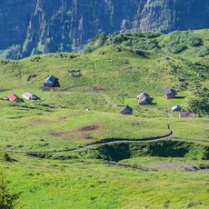
The climb starts at Col d'Encrenaz on a marked trail that passes through alpine meadows before reaching sections with safety chains for protection. Good hiking boots and comfort with exposed terrain are important, as the upper portions become steep and rocky.
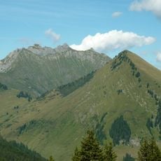
From the summit you get a complete view of Mont Blanc, Grands Montets, and Aiguille du Midi, plus Lake Geneva and the Jura Mountains stretching to the far horizon. This sweeping panorama catches many visitors off guard, offering a rare chance to see several major peaks and a large lake all in one view.
The community of curious travelers
AroundUs brings together thousands of curated places, local tips, and hidden gems, enriched daily by 60,000 contributors worldwide.