Pointe d'Uble, Mountain summit in the Chablais Alps, Taninges, Haute-Savoie, France.
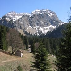
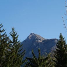
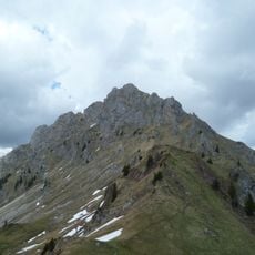
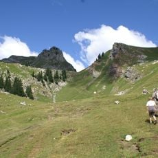
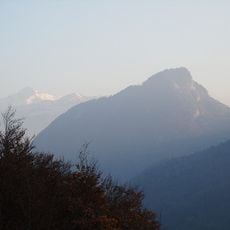
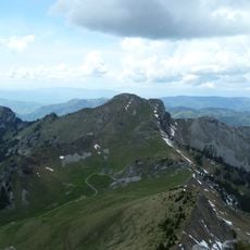
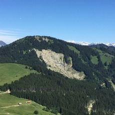
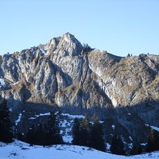
Pointe d'Uble is a 1,963 m summit in the Chablais Alps, on the communes of La Côte-d'Arbroz, Taninges and Mieussy above the Giffre valley. Its upper slopes are grass, cut by pale erosion channels and scree, with grey crags breaking out along the upper left flank. From the top the view takes in the roc d'Enfer, pointe de Chalune, pointe de Marcelly, the Môle, the Aravis chain and the Mont-Blanc massif.
Local mountaineers have climbed these paths for generations as part of the wider exploration of the French Alps. The route follows trails that have been used by residents and travelers for a long time.
The summit lies on the boundary of three communes: La Côte-d'Arbroz, Taninges and Mieussy. Walkers on the Giffre valley side use it as a viewpoint over the roc d'Enfer, the pointe de Chalune, the pointe de Marcelly, the Môle and, on clear days, the Mont-Blanc massif.
The summit lies on the boundary of the communes of Taninges, Mieussy and La Côte-d'Arbroz, above the Giffre valley. The final approach climbs a steep grassy ridge where grey crags and erosion channels break the surface, so footing is looser near the top. Clear weather is needed to pick out the roc d'Enfer, the pointe de Marcelly, the Môle and the Mont-Blanc massif from the summit.
From the summit, the view takes in the roc d'Enfer, the pointe de Chalune, the Haute-Pointe, the pointe du Haut-Fleury, the pointe de Marcelly, the Môle, the Aravis range and the Mont-Blanc massif. The summit ridge lies on the land of three communes: La Côte-d'Arbroz, Taninges and Mieussy.
The community of curious travelers
AroundUs brings together thousands of curated places, local tips, and hidden gems, enriched daily by 94,035 contributors worldwide.