Enable Location

We need your location to show you interesting places around you

Discover nearby places

Find interesting locations and hidden gems around you

Precise directions

Get accurate directions and distances to places

Your location is never shared with other users. It's only used when you tap the location button.

Mont Tournier

Log in to your account

Start exploring — it's free

Trusted by 64,015 travelers worldwide

Continue with Google
Continue with Apple
or

We will send you a code to connect

By continuing, you accept our Terms and Conditions and our Privacy Policy

Check your inbox

We've sent a pincode in your inbox. Please enter the code below.

Mont Tournier
Discussion Reviews 1 Photos
1k Popularity

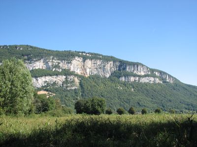
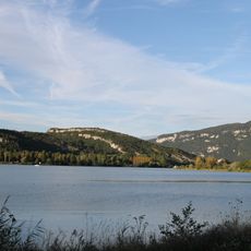
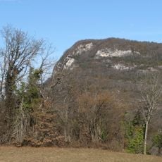
Mont Tournier, Mountain summit in Savoie, France

Mont Tournier rises to 877 meters and forms part of the Jura mountain range with multiple hiking paths leading to its peak. The mountain offers various routes of different difficulty levels for visitors.

Medieval watchtowers positioned on the mountain slopes allowed knights to monitor movements in the Rhône Valley. These defensive stations played an important role in regional control and protection during that period.

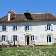
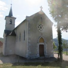
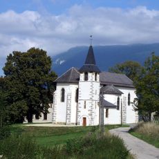
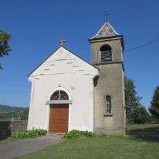
The Notre Dame de la Montagne chapel near the summit reflects a long tradition of placing religious sites at elevated locations. This practice connects the mountain to the spiritual life of the surrounding communities.

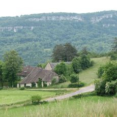
The complete hiking circuit from Yenne spans about 22 kilometers and takes around 10 hours to complete with water refill points at Yenne and Botozel. Wear sturdy footwear and bring enough water for the entire journey.

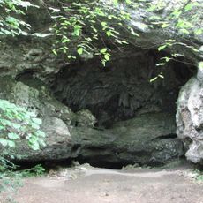
A cave system within the mountain contains evidence of early human settlements from prehistoric times. These caves offer insights into the region's first inhabitants and how they lived.

The community of curious travelers

AroundUs brings together thousands of curated places, local tips, and hidden gems, enriched daily by 60,000 contributors worldwide.

Start exploring
Location
Elevation above the sea
877 m
GPS coordinates
45.64023,5.70502
Latest update
December 14, 2025 20:05
Reviews
Share your experience

No review yet

Discussions
Start a discussion...

No discussion yet

« Mont Tournier - Mountain summit in Savoie, France » is provided by Around Us (aroundus.com). Images and texts are derived from Wikimedia project under a Creative Commons license. You are allowed to copy, distribute, and modify copies of this page, under the conditions set by the license, as long as this note is clearly visible.

Discover hidden gems everywhere you go!

From secret cafés to breathtaking viewpoints, skip the crowded tourist spots and find places that match your style. Our app makes it easy with voice search, smart filtering, route optimization, and insider tips from travelers worldwide. Download now for the complete mobile experience.

Around Us App Screenshot

A unique approach to discovering new places

Le Figaro

All the places worth exploring

France Info

A tailor-made excursion in just a few clicks

20 Minutes

Around Us
Travel Guide & Maps
Download

Send to your phone

QR Code
1

Open the camera app on your mobile.

2

Point at the QR code with your camera. A notification will appear.

3

Tap the notification to open the link.