Montagne de Maurel, Mountain summit in Alpes-de-Haute-Provence, France
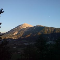
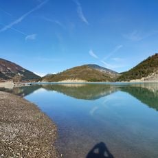
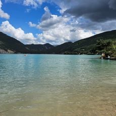
Montagne de Maurel is a mountain summit reaching about 1770 meters (5,807 ft) within the Trois-Évêchés massif, positioned between the Haut Verdon valley and its tributary, the Issole river. The peak offers sweeping views across the surrounding ridges and lakes of the Alpes-de-Haute-Provence.
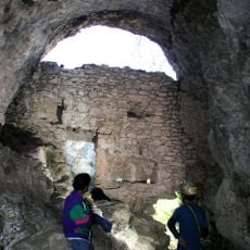
The summit served as an important reference point in the Alps and was used by local communities throughout history. In recent times, a precipitation measurement radar was installed here in 2010 to monitor weather patterns across the region.
The mountain is part of the Préalpes de Digne and attracts hikers and mountain bikers who use the marked trails throughout this region.
Visitors can reach the mountain from Saint-André-les-Alpes by following the route toward Val d'Allos. Parking is available in the nearby village of La Mure, providing a convenient starting point for hiking.
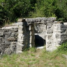
A boundary stone marker at the summit indicates its historical importance to the region. The 360-degree panorama reveals neighboring peaks and Lac de Castillon spread beneath the mountain ridge.
The community of curious travelers
AroundUs brings together thousands of curated places, local tips, and hidden gems, enriched daily by 60,000 contributors worldwide.