Montoisey, Limestone mountain summit in Ain, France
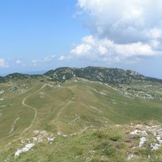
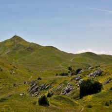
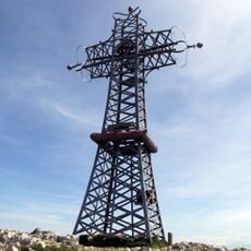
Montoisey is a summit of the Jura range in the Ain department, reaching 1,669 m. It forms an isolated hill with steep slopes where the underlying rock breaks out in small cliffs, and its top is made of Upper Kimmeridgian limestone. The summit rises over the Valserine valley to the north-west and the Lake Geneva basin to the east.
Montoisey lies in the Jura range, not the Alps, and is included in the Haut-Jura Regional Natural Park, whose territory also borders the Haute Chaîne du Jura national nature reserve. The summit sits on the Crozet commune, 9 km southwest of Gex and 15.5 km northwest of Geneva, on the western flank of the Jura anticline.
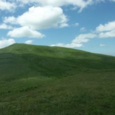
The summit marks the supposed watershed line between the Valserine and Allondon basins, a detail walkers cross without noticing. The name Montoisey has no documented etymology in the sources. The slopes carry subalpine lawns of bearberry, and on the south-western flank a mix of bearberry with sesleria and sedge grass.
Montoisey lies on the territory of Crozet, 9 km southwest of Gex and 15.5 km northwest of Geneva. The summit is reached only on foot; no lift serves it. The karstic surface holds small sinkholes less than 10 m deep, and the presumed watershed line between the Valserine and Allondon basins crosses the top.
The summit marks the presumed watershed between the Valserine and Allondon basins, and the karst surface around it holds small sinkholes less than 10 m deep. The top is built of Upper Kimmeridgian limestones, called "built limestones of the Haute Chaîne", with lower Kimmeridgian debris limestones on the north-east slope toward the col de Crozet.
The community of curious travelers
AroundUs brings together thousands of curated places, local tips, and hidden gems, enriched daily by 94,034 contributors worldwide.