Enable Location

We need your location to show you interesting places around you

Discover nearby places

Find interesting locations and hidden gems around you

Precise directions

Get accurate directions and distances to places

Your location is never shared with other users. It's only used when you tap the location button.

Pont de Noirmoutier

Log in to your account

Start exploring — it's free

Trusted by 61,527 travelers worldwide

Continue with Google
Continue with Apple
or

We will send you a code to connect

By continuing, you accept our Terms and Conditions and our Privacy Policy

Check your inbox

We've sent a pincode in your inbox. Please enter the code below.

Pont de Noirmoutier

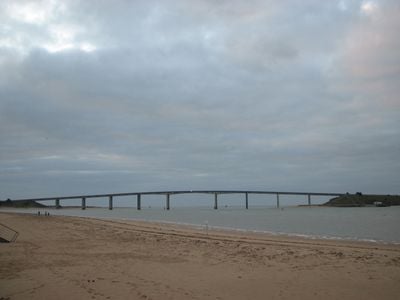
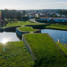
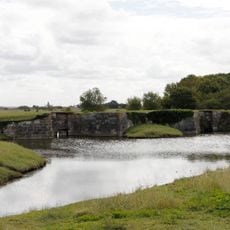
Pont de Noirmoutier, Bridge between mainland and Noirmoutier Island, France

Description

Pont de Noirmoutier is a 583-meter prestressed concrete bridge spanning the Fromentine Strait, linking La Barre-de-Monts on the mainland to Barbâtre on Noirmoutier Island. The roadway runs on slender reinforced concrete box girders supported by several piers that stand in the shallow water and allow tidal currents to flow beneath.

History

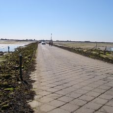
The bridge was built between 1969 and 1971, replacing a ferry service and the submersible Passage du Gois causeway. Construction took about two years, and the structure opened to traffic in June 1971, providing the island with a permanent link to the mainland.

Culture

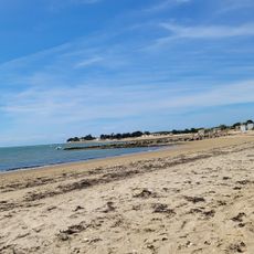
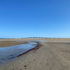
The structure links the mainland to the island and has changed the rhythm of life on both shores, as residents and visitors can now cross at any time. Before it existed, crossing depended on the tides; today cars and cyclists roll across the lanes regardless of the water level.

Practical

The crossing is toll-free and open to cars, motorcycles, bicycles, and pedestrians at all hours, regardless of weather or tides. Standard traffic rules apply on the roadway, and the bridge remains passable even during periods of strong coastal wind.

Did you know?

The bridge girders were reinforced with tensioned steel cables that were tightened after construction to prevent cracking. This technique allowed for a more slender design and saved material while maintaining load-bearing capacity.

Location
Inception
1969
Length
583 m
Longest Span
88 m
Made from material
prestressed concrete, reinforced concrete
GPS coordinates
46.89170,-2.14972
Latest update
December 20, 2025 15:17

AroundUs brings together thousands of curated places, local tips, and hidden gems, enriched daily by 60,000 contributors worldwide. Discover all places nearby (La Barre-de-Monts).

What to do and see in Vendée

Vendée is a place where water, history, and nature meet in simple ways. The area stretches from the Atlantic coast through farmland and large marshes with water channels winding between grassy banks. As you cross Vendée, you move from one kind of world to another; from a beach or island to the...

« Pont de Noirmoutier - Bridge between mainland and Noirmoutier Island, France » is provided by Around Us (aroundus.com). Images and texts are derived from Wikimedia project under a Creative Commons license. You are allowed to copy, distribute, and modify copies of this page, under the conditions set by the license, as long as this note is clearly visible.

Discover hidden gems everywhere you go!

From secret cafés to breathtaking viewpoints, skip the crowded tourist spots and find places that match your style. Our app makes it easy with voice search, smart filtering, route optimization, and insider tips from travelers worldwide. Download now for the complete mobile experience.

Around Us App Screenshot

A unique approach to discovering new places

Le Figaro

All the places worth exploring

France Info

A tailor-made excursion in just a few clicks

20 Minutes

Around Us
Travel Guide & Maps
Download

Send to your phone

QR Code
1

Open the camera app on your mobile.

2

Point at the QR code with your camera. A notification will appear.

3

Tap the notification to open the link.