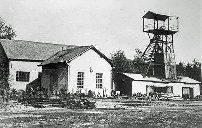
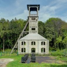
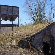
Puits de l'Étançon, Coal mine shaft in Ronchamp, France
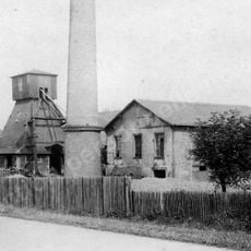
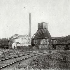
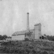
The Puits de l'Étançon is a coal mine shaft in Ronchamp that plunges roughly 44 meters deep and was dug to reach coal seams during the region's mining era. It stands today as part of a walking circuit that guides visitors through the industrial heritage of the area.
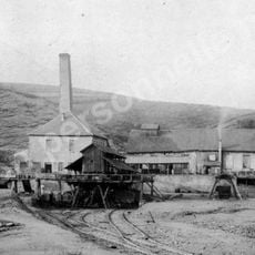
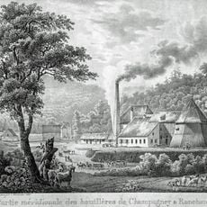
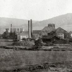
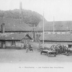
This shaft was built during the height of coal mining operations in the Ronchamp basin, when the industry shaped daily life across the region. A tragedy in 1950 marked a turning point, leading eventually to the closure of mining activities and the transformation of the landscape.
A memorial stone at the site bears the names of four miners who perished here, connecting visitors directly to the human cost of coal extraction. This inscription grounds the mining heritage in personal stories rather than abstract industrial history.
The site is accessible via marked walking trails that connect several points across the former mining landscape. Sturdy footwear is recommended because the ground can be uneven and the paths wind through open country with few facilities nearby.
The slag heaps surrounding the shaft have become home to rare fungi species, creating an unexpected natural laboratory within the industrial ruins. Researchers have documented multiple types usually found nowhere else in the region, making the site scientifically significant despite its mining past.
The community of curious travelers
AroundUs brings together thousands of curated places, local tips, and hidden gems, enriched daily by 60,000 contributors worldwide.