Enable Location

We need your location to show you interesting places around you

Discover nearby places

Find interesting locations and hidden gems around you

Precise directions

Get accurate directions and distances to places

Your location is never shared with other users. It's only used when you tap the location button.

Quai de Gesvres

Log in to your account

Start exploring — it's free

Trusted by 62,474 travelers worldwide

Continue with Google
Continue with Apple
or

We will send you a code to connect

By continuing, you accept our Terms and Conditions and our Privacy Policy

Check your inbox

We've sent a pincode in your inbox. Please enter the code below.

Quai de Gesvres

Quai de Gesvres, Riverfront street in 4th arrondissement, France

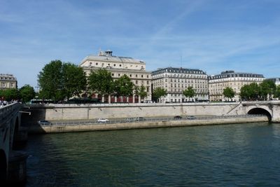
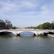
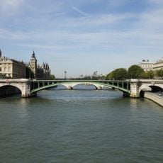
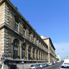
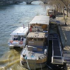
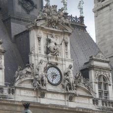
Quai de Gesvres is a riverfront street on the right bank of the Seine in Paris's 4th arrondissement, running through the Saint-Merri neighborhood. It offers direct access to the waterfront and connects to surrounding squares and historic districts.

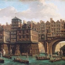
The street was established in 1675 as a waterfront path built on a vaulted gallery that could flood during high water. This design allowed the Seine to maintain its natural flow while creating a passageway for pedestrians along the riverside.

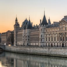
The underground gallery, known as Canal des Cagnards, served as a meeting point for pedestrians during daytime and different activities at night.

The street is easily accessible from the Hôtel de Ville and Châtelet metro stations with connections to several lines. Visitors should note that waterfront access may vary depending on the season and water levels.

Remains of the original vaulted gallery were discovered beneath the current street during the construction of metro line 7 in the 1920s. These archaeological finds reveal how medieval infrastructure lies hidden under modern Paris structures.

The community of curious travelers

AroundUs brings together thousands of curated places, local tips, and hidden gems, enriched daily by 60,000 contributors worldwide.

Start exploring
Inception
1675
Length
258 m
Width
23.5 m
Part of
road network of Paris
Shares border with
place de l'Hôtel-de-Ville - Esplanade de la Libération, Place du Châtelet, quai de la Mégisserie, quai de l'Hôtel-de-Ville, rue Adolphe-Adam, rue de la Tacherie, rue Saint-Martin, pont au Change, Place de l'Hôtel de Ville
GPS coordinates
48.85660,2.34910
Latest update
December 12, 2025 09:02
« Quai de Gesvres - Riverfront street in 4th arrondissement, France » is provided by Around Us (aroundus.com). Images and texts are derived from Wikimedia project under a Creative Commons license. You are allowed to copy, distribute, and modify copies of this page, under the conditions set by the license, as long as this note is clearly visible.

Discover hidden gems everywhere you go!

From secret cafés to breathtaking viewpoints, skip the crowded tourist spots and find places that match your style. Our app makes it easy with voice search, smart filtering, route optimization, and insider tips from travelers worldwide. Download now for the complete mobile experience.

Around Us App Screenshot

A unique approach to discovering new places

Le Figaro

All the places worth exploring

France Info

A tailor-made excursion in just a few clicks

20 Minutes

Around Us
Travel Guide & Maps
Download

Send to your phone

QR Code
1

Open the camera app on your mobile.

2

Point at the QR code with your camera. A notification will appear.

3

Tap the notification to open the link.