Quai de Jemmapes

Log in to your account

AroundUs is a community-driven map of interesting places, built by curious explorers like you. It grows with every review, story, and photo you share.
Connect to save your favorite spots, contribute locations, and create personalized routes.
Continue with Google
Continue with Apple
Continue with X
Continue with Facebook
Continue with email
By continuing, you accept our Terms and Conditions and our Privacy Policy
Create an account

Quai de Jemmapes

Add to collection
Map
Suggest a change
Share

Quai de Jemmapes, Riverfront in 10th arrondissement, France.

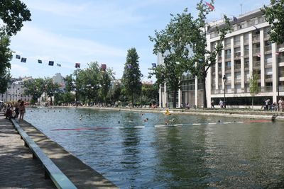
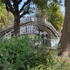
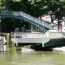
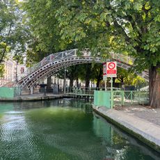
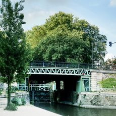
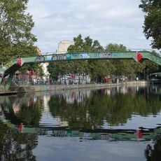
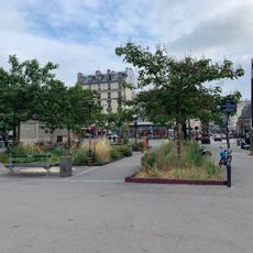
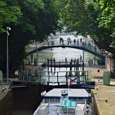
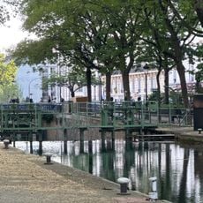
The quai de Jemmapes is a long waterside path running alongside the Canal Saint-Martin in Paris's 10th district, stretching for about a mile and a half. The path connects multiple neighborhoods and forms a continuous route from Rue Faubourg-du-Temple to Boulevard de la Villette.

The quay was named to commemorate the Battle of Jemmapes in 1792, an important moment in French history near Mons, Belgium. The street later became established as a key route through the evolving Paris landscape.

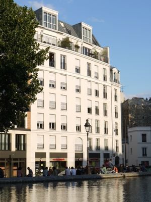
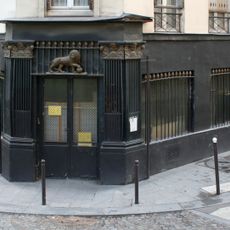
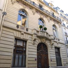
The Hôtel du Nord at number 102 shapes the waterfront with its distinctive architecture and draws visitors who recognize it from the famous film. The building feels like a movie set frozen in time and invites people to linger and watch the passersby.

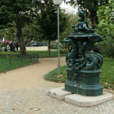
The path is easy to walk at any time of day, particularly in the afternoon or when the weather is clear. There are few steep sections or stairs, making it comfortable for casual strolling.

A shell impact from World War I left a mark at number 206 bis, recalling the violence that reached the city even far from battlefields. This nearly invisible scar tells a story many visitors pass without noticing.

Location: 10th arrondissement of Paris

Location: Quartier de la Porte-Saint-Martin

Location: Quartier de l'Hôpital-Saint-Louis

Length: 1,615 m

Width: 11 m

Part of: road network of Paris

Shares border with: avenue Richerand, boulevard de la Villette, boulevard Jules-Ferry, rue Alibert, rue Bichat, rue de la Grange-aux-Belles, rue de l'Hôpital-Saint-Louis, rue des Écluses-Saint-Martin, rue du Faubourg-du-Temple, rue Georg-Friedrich-Haendel, rue Louis-Blanc, voie B/10

GPS coordinates: 48.87480,2.36369

Latest update: December 6, 2025 17:41

Photos
Historic streets and passages in France: medieval architecture, traditional markets, seaside walks

The streets of France tell stories that go back many centuries. Walking through the cobblestone alleys of Paris, you see old facades and small hidden cafes. In Strasbourg, the canals wind between colorful houses with typical timber-framed walls. Nice has palm-lined walkways where locals and visitors...

Reviews

Visited this place? Tap the stars to rate it and share your experience / photos with the community! Try now! You can cancel it anytime.

« Quai de Jemmapes - Riverfront in 10th arrondissement, France » is provided by Around Us (aroundus.com). Images and texts are derived from Wikimedia project under a Creative Commons license. You are allowed to copy, distribute, and modify copies of this page, under the conditions set by the license, as long as this note is clearly visible.

Discover hidden gems everywhere you go!

From secret cafés to breathtaking viewpoints, skip the crowded tourist spots and find places that match your style. Our app makes it easy with voice search, smart filtering, route optimization, and insider tips from travelers worldwide. Download now for the complete mobile experience.

Around Us App Screenshot

A unique approach to discovering new places

Le Figaro

All the places worth exploring

France Info

A tailor-made excursion in just a few clicks

20 Minutes