Quai de l'Oise

Log in to your account

AroundUs is a community-driven map of interesting places, built by curious explorers like you. It grows with every review, story, and photo you share.
Connect to save your favorite spots, contribute locations, and create personalized routes.
Continue with Google
Continue with Apple
Continue with X
Continue with Facebook
Continue with email
By continuing, you accept our Terms and Conditions and our Privacy Policy
Create an account

Quai de l'Oise

Add to collection
Map
Suggest a change
Share

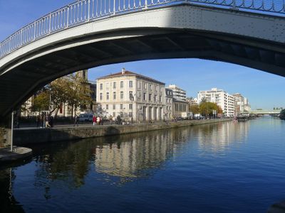
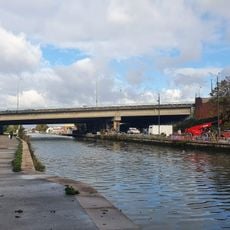
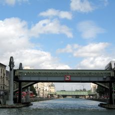
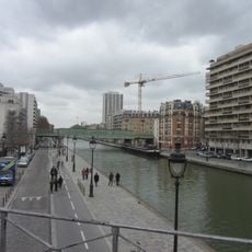
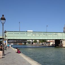
Quai de l'Oise, Riverfront in 19th arrondissement, Paris, France.

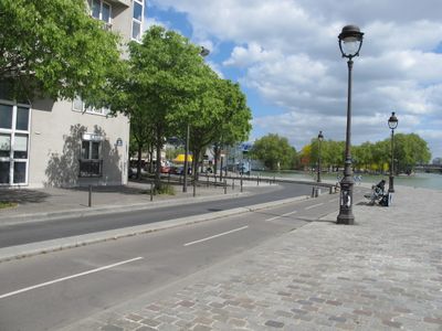
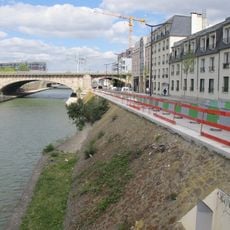
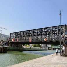
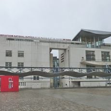
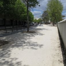
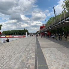
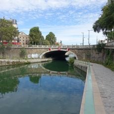
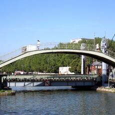
The Quai de l'Oise runs for about 650 meters along the Bassin de la Villette in the 19th arrondissement, offering a wide walking path right next to the water. The promenade is open and straight, giving clear views across the basin and the surrounding buildings.

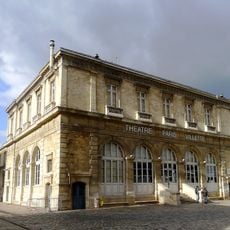
The quay was built in 1828 as part of the Canal de l'Ourcq project and became key infrastructure for the growing district. It served as the location for La Villette's second town hall from 1837 to 1850.

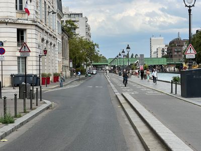
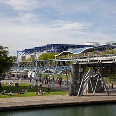
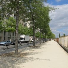
The quay serves as a social hub where neighbors walk, chat, and spend time by the water throughout the week. People use the space naturally to connect with their surroundings and feel part of the local rhythm.

You can reach the quay from several points along the surrounding streets, making access straightforward from different directions. The path works well for both walking and cycling, and it remains open and passable throughout the year.

During World War I, the quay endured direct air raids and artillery fire, which left marks on the area's history. This wartime experience remains part of the neighborhood's collective memory.

Location: 19th arrondissement of Paris

Location: Quartier de la Villette

Location: Pont-de-Flandre

Inception: 1828

Length: 650 m

Width: 14.3 m

Part of: road network of Paris

Shares border with: place de Bitche, place Paul-Delouvrier, quai de la Gironde, rue de Crimée, rue de Joinville, rue de l'Aisne, rue de l'Argonne, rue de l'Oise, rue de Nantes

GPS coordinates: 48.89070,2.38351

Latest update: December 14, 2025 18:43

Photos
Reviews

Visited this place? Tap the stars to rate it and share your experience / photos with the community! Try now! You can cancel it anytime.

« Quai de l'Oise - Riverfront in 19th arrondissement, Paris, France » is provided by Around Us (aroundus.com). Images and texts are derived from Wikimedia project under a Creative Commons license. You are allowed to copy, distribute, and modify copies of this page, under the conditions set by the license, as long as this note is clearly visible.

Discover hidden gems everywhere you go!

From secret cafés to breathtaking viewpoints, skip the crowded tourist spots and find places that match your style. Our app makes it easy with voice search, smart filtering, route optimization, and insider tips from travelers worldwide. Download now for the complete mobile experience.

Around Us App Screenshot

A unique approach to discovering new places

Le Figaro

All the places worth exploring

France Info

A tailor-made excursion in just a few clicks

20 Minutes