Enable Location

We need your location to show you interesting places around you

Discover nearby places

Find interesting locations and hidden gems around you

Precise directions

Get accurate directions and distances to places

Your location is never shared with other users. It's only used when you tap the location button.

Quai de la Marne

Log in to your account

Start exploring — it's free

Trusted by 63,118 travelers worldwide

Continue with Google
Continue with Apple
or

We will send you a code to connect

By continuing, you accept our Terms and Conditions and our Privacy Policy

Check your inbox

We've sent a pincode in your inbox. Please enter the code below.

Quai de la Marne
Discussion Reviews 3 Photos
1.2k Popularity

Quai de la Marne, Riverfront in 19th arrondissement, Paris, France

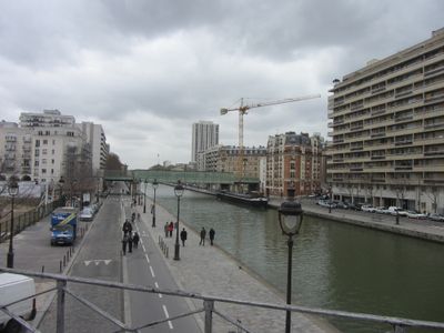
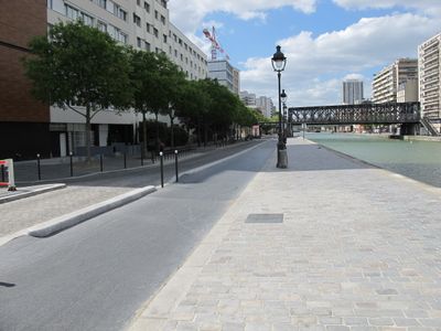
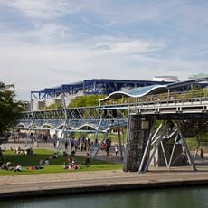
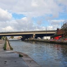
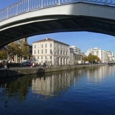
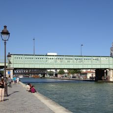
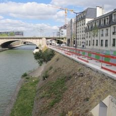
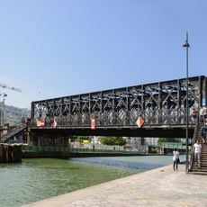
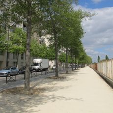
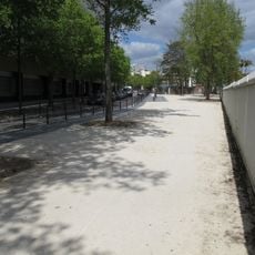
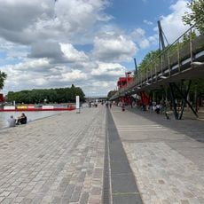
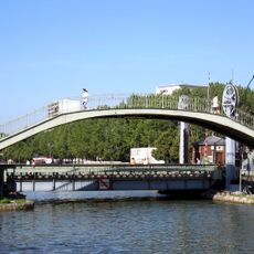
Quai de la Marne is a waterfront strip in Paris's 19th arrondissement that runs for 610 meters along the Bassin de la Villette. It connects the Crimée lift bridge with Parc de la Villette and offers a narrow pathway for pedestrians and cyclists.

This waterfront developed starting in 1802 as part of creating the Canal de l'Ourcq, which was meant to supply water to the area. Official recognition came in 1863 when a decree integrated it into Paris's road network.

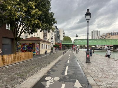
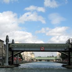
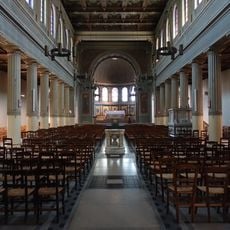
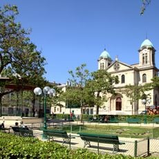
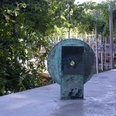
Bronze markers along the waterfront indicate the Compostela pilgrimage route, and you can see Saint-Jacques-Saint-Christophe Church framed through the Crimée bridge. These details connect the place to broader spiritual journeys and regional traditions.

The path is relatively narrow and can be slippery when wet, so watch your footing carefully. Walking or cycling works best if you want to explore the full length of this route.

A floating garden was installed in 2020 to create habitat for local wildlife. In 2024, a bubble curtain system was added to stop floating debris from accumulating.

The community of curious travelers

AroundUs brings together thousands of curated places, local tips, and hidden gems, enriched daily by 60,000 contributors worldwide.

Start exploring
Location
Inception
1802
Length
610 m
Width
14.3 m
Part of
road network of Paris
Shares border with
quai de Metz, rue Alexandre-de-Humboldt, rue de Crimée, rue de la Marne, rue de la Meurthe, rue des Ardennes, rue Evette
GPS coordinates
48.89000,2.38337
Latest update
December 14, 2025 18:01
Reviews
Share your experience

No review yet

Discussions
Start a discussion...

No discussion yet

« Quai de la Marne - Riverfront in 19th arrondissement, Paris, France » is provided by Around Us (aroundus.com). Images and texts are derived from Wikimedia project under a Creative Commons license. You are allowed to copy, distribute, and modify copies of this page, under the conditions set by the license, as long as this note is clearly visible.

Discover hidden gems everywhere you go!

From secret cafés to breathtaking viewpoints, skip the crowded tourist spots and find places that match your style. Our app makes it easy with voice search, smart filtering, route optimization, and insider tips from travelers worldwide. Download now for the complete mobile experience.

Around Us App Screenshot

A unique approach to discovering new places

Le Figaro

All the places worth exploring

France Info

A tailor-made excursion in just a few clicks

20 Minutes

Around Us
Travel Guide & Maps
Download

Send to your phone

QR Code
1

Open the camera app on your mobile.

2

Point at the QR code with your camera. A notification will appear.

3

Tap the notification to open the link.