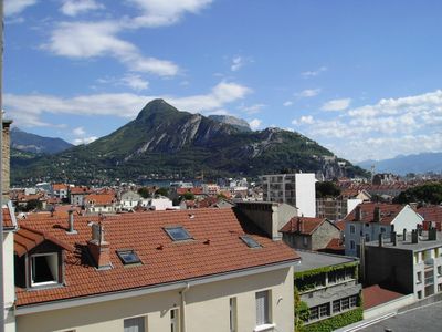
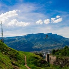
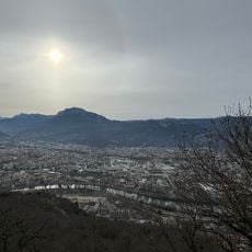
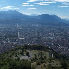
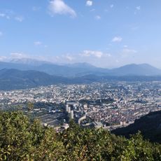
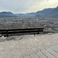
Mont Rachais, Mountain summit in Isère, France
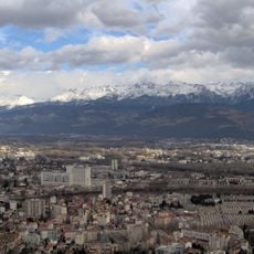
Mont Rachais is a summit in the French Alps standing at roughly 1050 meters, accessible through several well-marked trails. The mountain forms part of a connected ridge system that links to other peaks in the area and offers routes for different skill levels.
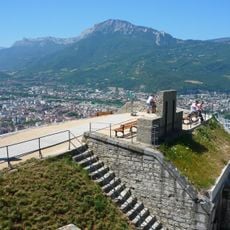
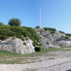
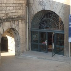
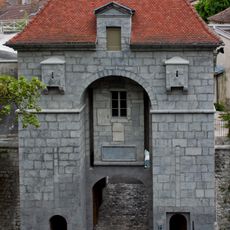
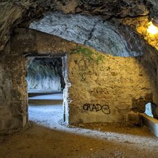
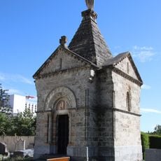
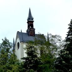
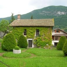
The mountain connects to French military fortifications built in the 19th century to defend Grenoble and the surrounding region. This fortified landscape continues to shape the area today, showing how geography and military strategy intersected in the past.
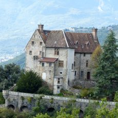
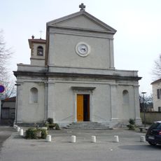
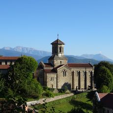
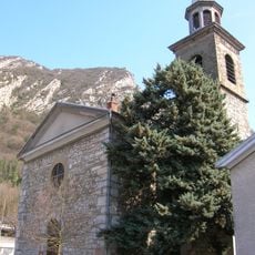
The summit serves as a natural gathering point for hikers exploring the alpine region and connecting with the mountain culture of the area. The trails link several historical sites, creating a pathway that tells the story of how people have long used these mountains.
The climb can be approached from several routes, with most hikes taking between two and three hours depending on the path chosen. Sturdy footwear is recommended and visitors should be prepared for changing mountain conditions throughout the year.
Natural springs emerge along the hiking routes, providing hikers with fresh water sources during their journey up the mountain. These springs have served as reliable water stops for mountain travelers over many decades.
Location: Isère
Elevation above the sea: 1,050 m
Website: http://geodesie.ign.fr/fiches/index.php?module=e&action=fichepdf&source=carte&sit_no=3851601
GPS coordinates: 45.21846,5.73347
Latest update: December 13, 2025 11:47
Bastille
2.3 km
Casamaures
2.3 km
Mont Jalla
1.8 km
Grenoble Archaeological Museum
2.3 km
Musée Hébert
2 km
Pont de Chartreuse
2.3 km
Mémorial national des troupes de montagne
1.8 km
CCSTI de Grenoble
2.3 km
Musée des troupes de montagne
2.3 km
Château de Bouquéron
1.9 km
Porte Saint-Laurent
2.3 km
Musée grenoblois des sciences médicales
2.4 km
Pont de l'Île-Verte
2.1 km
Belvédère Vauban
2.3 km
Acrobastille
2.3 km
War memorial at the Bastille
2.2 km
Scenic viewpoint
1.8 km
Église Saint-Ferjus de La Tronche
1.7 km
Grotte de Mandrin
2 km
Croix de Quinsonas
1.3 km
Scenic viewpoint
2.3 km
Église Saint-Pierre de Corenc
2.3 km
Chapelle Saint-Ferjus de La Tronche
2 km
Église Saint-Martin de Saint-Martin-le-Vinoux
2.2 km
Chapelle de l'Institution Montfleury de Corenc
1.5 km
Terrasse des Géologues
2.3 km
Chapelle de la Nativité de Narbonne
1.8 km
Chapelle de l'hôpital dite aussi chapelle de l'asile des Vieillards de La Tronche
2.4 kmVisited this place? Tap the stars to rate it and share your experience / photos with the community! Try now! You can cancel it anytime.
Discover hidden gems everywhere you go!
From secret cafés to breathtaking viewpoints, skip the crowded tourist spots and find places that match your style. Our app makes it easy with voice search, smart filtering, route optimization, and insider tips from travelers worldwide. Download now for the complete mobile experience.
A unique approach to discovering new places❞
— Le Figaro
All the places worth exploring❞
— France Info
A tailor-made excursion in just a few clicks❞
— 20 Minutes