Enable Location

We need your location to show you interesting places around you

Discover nearby places

Find interesting locations and hidden gems around you

Precise directions

Get accurate directions and distances to places

Your location is never shared with other users. It's only used when you tap the location button.

Île de Nantes

Log in to your account

Start exploring — it's free

Trusted by 61,962 travelers worldwide

Continue with Google
Continue with Apple
or

We will send you a code to connect

By continuing, you accept our Terms and Conditions and our Privacy Policy

Check your inbox

We've sent a pincode in your inbox. Please enter the code below.

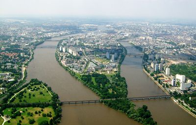
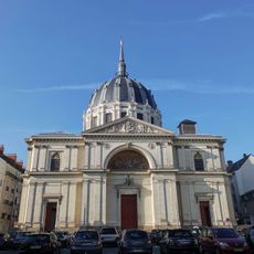
Île de Nantes, Urban district in Nantes, France

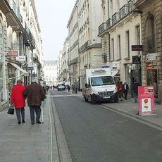
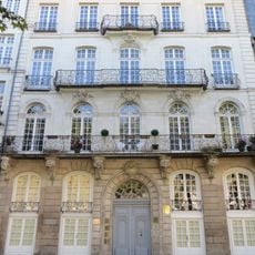
Île de Nantes is an urban district on the Loire River formed by two river branches that separate it from the mainland. The area contains residential buildings, cultural institutions, and public spaces that now occupy what was once industrial land.

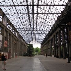
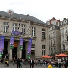
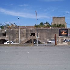
The island was historically dominated by meadows and industrial facilities where ships were built and metalwork occurred. Large-scale redevelopment beginning in the early 2000s converted these sites into a contemporary mixed-use neighborhood.

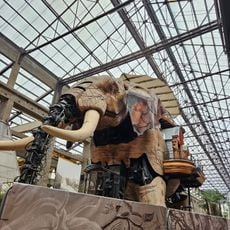
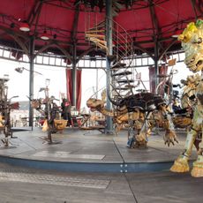
The Machines of the Isle draws on the area's shipbuilding heritage by transforming industrial craftsmanship into moving sculptures and theatrical performances. Visitors encounter mechanical creatures that blend artistry with engineering traditions rooted in the island's past.

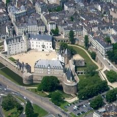
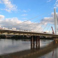
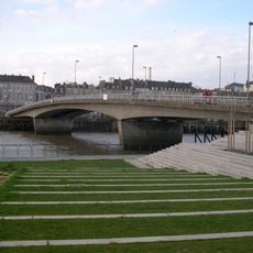
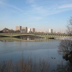
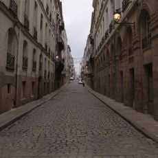
The district connects to the mainland through multiple bridges and is easily explored on foot or by bicycle. Walking paths and public transit make it simple to navigate between different areas and attractions.

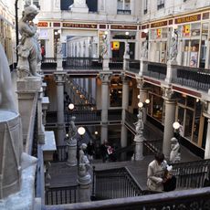
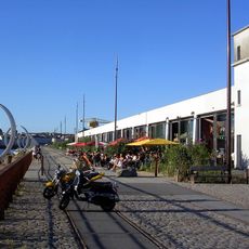
A former banana warehouse called Hangar à Bananes has been repurposed as an entertainment complex with restaurants and exhibition spaces. This reflects how the area reimagines its industrial past into contemporary cultural venues.

The community of curious travelers

AroundUs brings together thousands of curated places, local tips, and hidden gems, enriched daily by 60,000 contributors worldwide.

Start exploring
Location
GPS coordinates
47.20420,-1.54722
Latest update
December 21, 2025 16:05
Photo spots to visit in Nantes: Instagrammable places and viewpoints

Nantes features diverse settings for photography, from gardens to historical monuments. Passage Pommeraye, a 19th-century shopping gallery, displays carved staircases and glass roofs across three levels. Île de Versailles offers a Japanese garden with stone lanterns and bamboo groves, while the...

« Île de Nantes - Urban district in Nantes, France » is provided by Around Us (aroundus.com). Images and texts are derived from Wikimedia project under a Creative Commons license. You are allowed to copy, distribute, and modify copies of this page, under the conditions set by the license, as long as this note is clearly visible.

Discover hidden gems everywhere you go!

From secret cafés to breathtaking viewpoints, skip the crowded tourist spots and find places that match your style. Our app makes it easy with voice search, smart filtering, route optimization, and insider tips from travelers worldwide. Download now for the complete mobile experience.

Around Us App Screenshot

A unique approach to discovering new places

Le Figaro

All the places worth exploring

France Info

A tailor-made excursion in just a few clicks

20 Minutes

Around Us
Travel Guide & Maps
Download

Send to your phone

QR Code
1

Open the camera app on your mobile.

2

Point at the QR code with your camera. A notification will appear.

3

Tap the notification to open the link.