Pic des Souffles, Mountain summit in Massif des Écrins, France
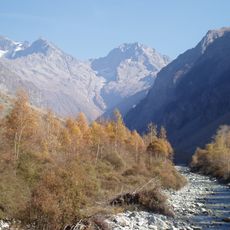
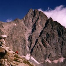
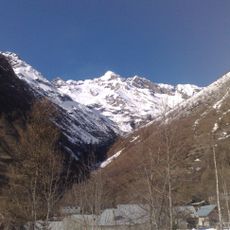
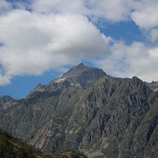
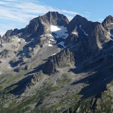
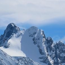
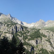
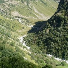
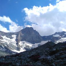
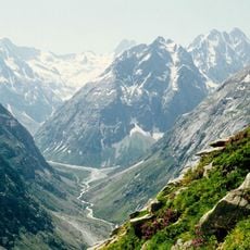
Pic des Souffles is a 3,099 m summit in the Massif des Écrins, on the border of Villar-Loubière and Valjouffrey in the French Alps. Its upper part is a broad mass of pale grey fractured rock with narrow spires, cut by deep gullies and exposed ridges. Below the crags, a band of pale scree and snow patches gives way to grassy lower slopes scattered with grey boulders.
The sources record no climbing history, guides or first ascent for Pic des Souffles; its documented facts are geographic. It is a 3,099 m summit in the Massif des Écrins, in the Dauphiné Alps, on the boundary of Villar-Loubière and Valjouffrey in the Hautes-Alpes. The Chinese-language source gives 3,098 m and an average annual rainfall of 1,410 mm.
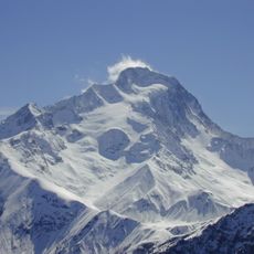
The peak lies on the border between the communes of Villar-Loubière and Valjouffrey, in the Valgaudemar and Valjouffrey valleys of the Écrins massif. Its French name, "Souffles", refers to the wind that sweeps the 3,099 m summit. The two communes share the grazing and path rights on its slopes, and the mountain is climbed from the valleys on either side.
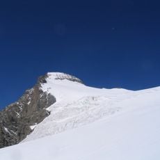
The climb is challenging and requires experience with rock and ice climbing techniques along with proper gear. A mountain refuge nearby serves as a useful base for longer expeditions in the surrounding region.
The summit lies on the boundary between the communes of Villar-Loubière and Valjouffrey. Its 437 m prominence ranks it 13th among the 544 peaks of the Parc national des Écrins.
The community of curious travelers
AroundUs brings together thousands of curated places, local tips, and hidden gems, enriched daily by 94,048 contributors worldwide.