Arthanolatze, Mountain summit in Soule, France
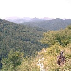
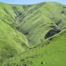
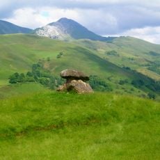
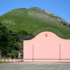
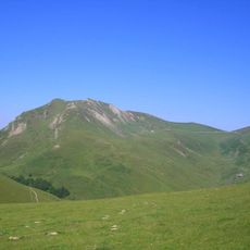
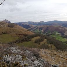
Arthanolatze Gaïna is a mountain in Soule that rises from a mix of forests and open grassland, with the summit standing at about 1500 meters. Several trails cross its slopes, linking the surrounding valleys and offering different routes for walkers.
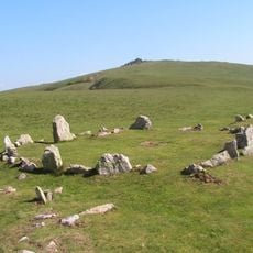
For centuries, the mountain served as a natural point to mark where different territories of Soule met and separated. This role as a boundary made it important to the people and communities that lived on both sides.
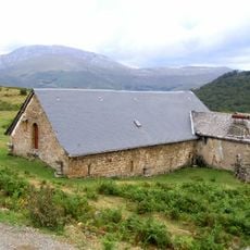
Shepherds in the area graze their flocks on the slopes, maintaining pastoral ways that have been part of life here for generations. This practice shapes how the landscape looks and how people relate to these mountains today.
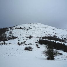
The mountain is best reached by hiking trails that start from the valleys below, with options for different fitness levels. Sturdy shoes and weather-appropriate clothing are important, as conditions in the mountains can change quickly.
The summit sits at a point where air masses from the Atlantic and Mediterranean meet, creating unusual weather patterns that shift throughout the day. This location attracted observers who wanted to understand how weather moves across this part of the Pyrenees.
The community of curious travelers
AroundUs brings together thousands of curated places, local tips, and hidden gems, enriched daily by 60,000 contributors worldwide.