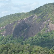
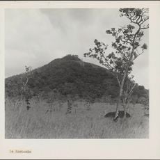
Pic Coudreau, Mountain summit in French Guiana, South America.
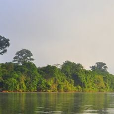
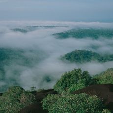
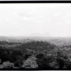
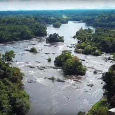
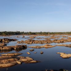
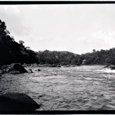
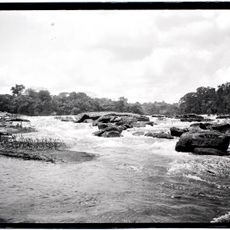
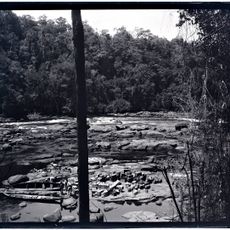
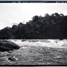
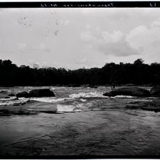
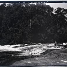
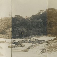
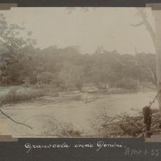
Pic Coudreau is a 355-meter summit in French Guiana that rises above the surrounding rainforest. The peak sits in a remote location accessible only through challenging terrain and dense vegetation.
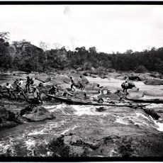
This mountain was mapped by explorer Henri Anatole Coudreau during his 1880s expeditions in the region. His surveys helped document the geography of the area between what are now French and Brazilian territories.
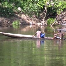
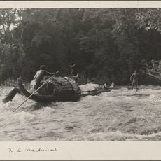
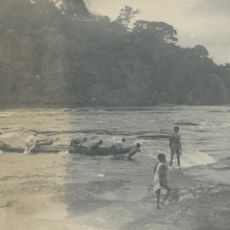
Local indigenous groups have used this peak as a landmark in the forest for generations. Their knowledge of the plant life and natural resources here remains part of their connection to the land.
You will need permits from local authorities and must bring all your own supplies, as the remote location has no facilities or services. Cell phone coverage does not reach this area, so plan accordingly.
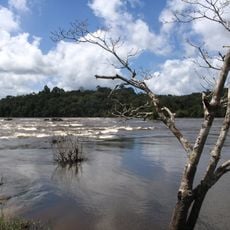
This area receives some of the heaviest rainfall in the region, especially during the monsoon seasons. These extreme weather patterns shape the landscape and make any visit a wet experience.
The community of curious travelers
AroundUs brings together thousands of curated places, local tips, and hidden gems, enriched daily by 60,000 contributors worldwide.