Enable Location

We need your location to show you interesting places around you

Discover nearby places

Find interesting locations and hidden gems around you

Precise directions

Get accurate directions and distances to places

Your location is never shared with other users. It's only used when you tap the location button.

Rocher de Lorzier

Log in to your account

Start exploring — it's free

Trusted by 61,971 travelers worldwide

Continue with Google
Continue with Apple
or

We will send you a code to connect

By continuing, you accept our Terms and Conditions and our Privacy Policy

Check your inbox

We've sent a pincode in your inbox. Please enter the code below.

Rocher de Lorzier

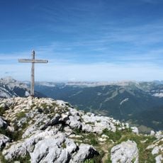
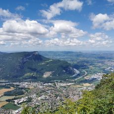
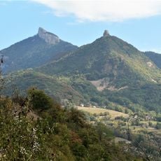
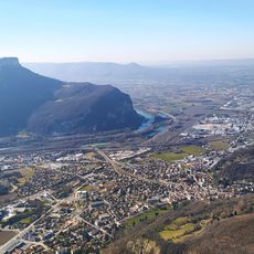
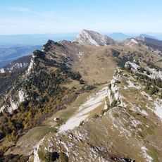
Rocher de Lorzier, Mountain summit in Chartreuse massif, Isère, France.

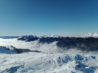
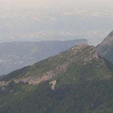
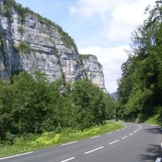
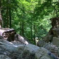
Rocher de Lorzier rises to 1,838 meters above sea level, formed primarily of limestone rock that creates steep escarpments and rocky outcrops throughout the Chartreuse massif in the French Alps.

The limestone formation of Rocher de Lorzier originated millions of years ago from marine sedimentary deposits, when this mountainous region was covered by ancient seas that left geological traces visible today.

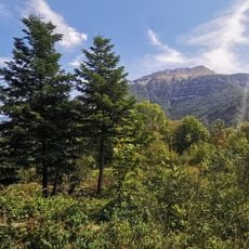
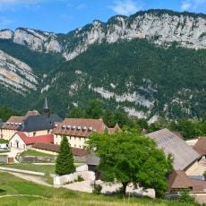
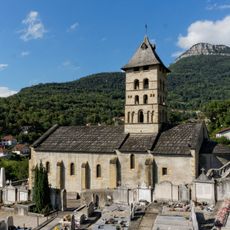
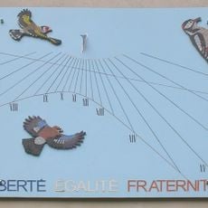
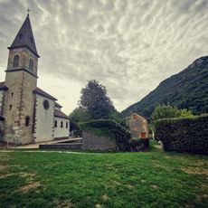
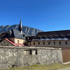
The summit belongs to the Chartreuse Regional Natural Park, where traditional Alpine culture persists through mountain festivals, local gastronomy featuring goat cheese, and intergenerational practices of respect for mountain environments.

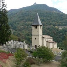
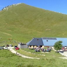
Access to the summit begins from Col de la Charmette, requiring proper hiking equipment including sturdy boots and poles for navigating rocky terrain during the approximately six-hour loop trail.

Local legends speak of an old shepherd who survived a terrible storm by finding shelter among these square-shaped rocks attached to the mountain, creating mythical stories passed down through generations.

The community of curious travelers

AroundUs brings together thousands of curated places, local tips, and hidden gems, enriched daily by 60,000 contributors worldwide.

Start exploring
Location
Elevation above the sea
1,838 m
Made from material
limestone
GPS coordinates
45.31312,5.69647
Latest update
October 24, 2025 17:38
« Rocher de Lorzier - Mountain summit in Chartreuse massif, Isère, France » is provided by Around Us (aroundus.com). Images and texts are derived from Wikimedia project under a Creative Commons license. You are allowed to copy, distribute, and modify copies of this page, under the conditions set by the license, as long as this note is clearly visible.

Discover hidden gems everywhere you go!

From secret cafés to breathtaking viewpoints, skip the crowded tourist spots and find places that match your style. Our app makes it easy with voice search, smart filtering, route optimization, and insider tips from travelers worldwide. Download now for the complete mobile experience.

Around Us App Screenshot

A unique approach to discovering new places

Le Figaro

All the places worth exploring

France Info

A tailor-made excursion in just a few clicks

20 Minutes

Around Us
Travel Guide & Maps
Download

Send to your phone

QR Code
1

Open the camera app on your mobile.

2

Point at the QR code with your camera. A notification will appear.

3

Tap the notification to open the link.