Aiguille de Quaix, Mountain summit in Chartreuse massif, France.
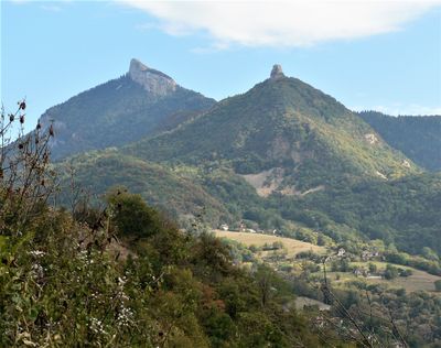
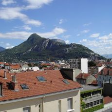
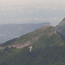
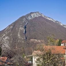
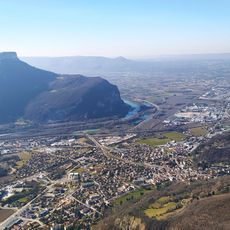
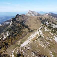
Aiguille de Quaix is a 1143-meter summit in the Chartreuse massif of the French Alps, with a tooth-shaped peak formed from grey limestone. Several climbing routes cross rocky passages and require technical skill to navigate the steep sections and exposed terrain.
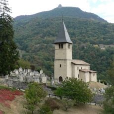
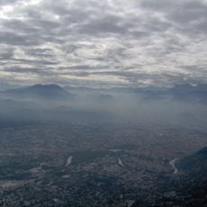
The Chartreuse massif was shaped by monastic communities that have inhabited these valleys for centuries. The limestone formations, including this peak, developed through geological processes that occurred over millions of years.
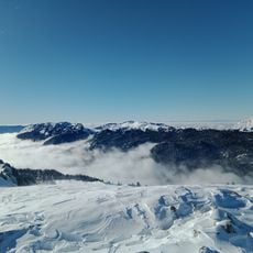
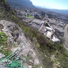
The peak draws climbers from the surrounding region who gather to practice their skills and exchange knowledge about alpine techniques. For local mountaineers, it represents an accessible training ground where climbers of different levels interact and share their passion.
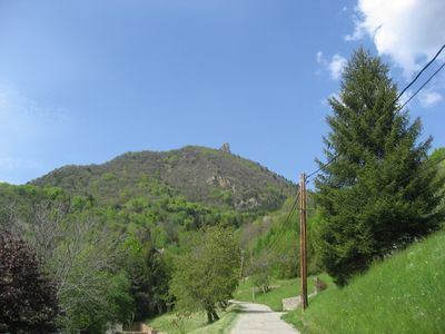
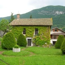
The ascent begins at Planfay and follows marked trails through forest with about 400 meters of elevation gain. The terrain becomes steeper and rockier at higher elevations, so climbing experience and proper footwear are important.
The northeast to southwest traverse offers an intermediate-level technical climbing route that provides variation from the standard ascent. Local climbers regularly use this crossing to build specific skills and test their abilities on diverse rock formations.
The community of curious travelers
AroundUs brings together thousands of curated places, local tips, and hidden gems, enriched daily by 60,000 contributors worldwide.