Pic Cujo la Palas, Mountain summit in Hautes-Pyrénées, France
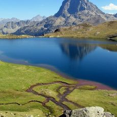
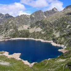
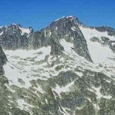
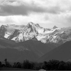
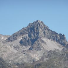
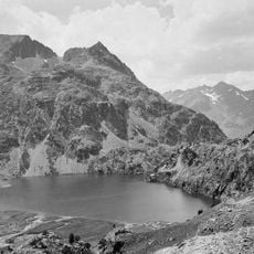
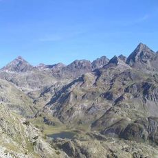
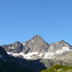
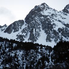
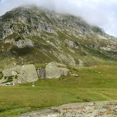
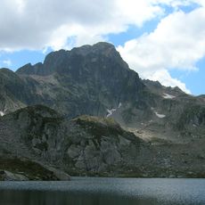
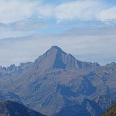
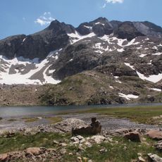
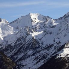
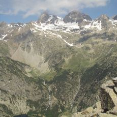
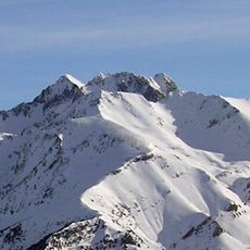
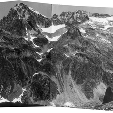
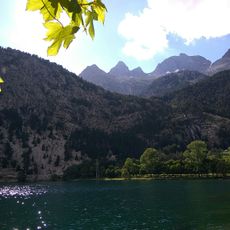
Pic Cujo la Palas is a mountain summit in the French Pyrenees rising to 2,607 meters, with steep rock faces and exposed ridges that define the climbing route. The landscape features rugged stone formations, alpine meadows, and open mountain slopes offering views across the broader range.
The area played a role in border negotiations between France and Spain during the 1800s, prompting detailed mapping expeditions. These surveying efforts solidified the exact boundaries in the mountain region and contributed to precise geographic knowledge of the Pyrenees.
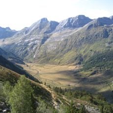
Herders have used these alpine pastures for centuries, and they still drive their flocks to the summer meadows following traditional routes. This practice shapes how the mountain landscape changes through the seasons.
The climb requires proper equipment and takes around six hours round trip from the Lac d'Artouste parking area. Anyone attempting this route should start early and be ready to turn back in changing mountain weather.
The summit holds a monitoring station where scientists track the migration patterns of large birds crossing the Pyrenees. This bird observation reveals how the area serves as a crucial flight corridor for raptors and migratory species.
The community of curious travelers
AroundUs brings together thousands of curated places, local tips, and hidden gems, enriched daily by 60,000 contributors worldwide.