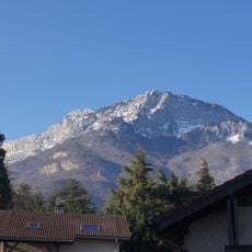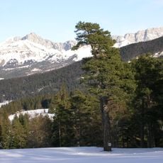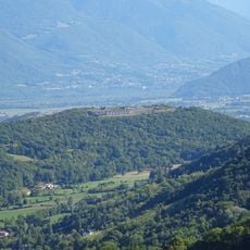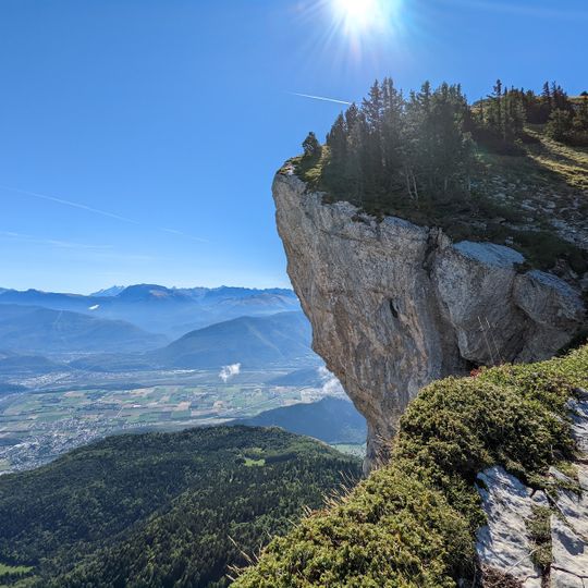
Pic Saint-Michel, Mountain summit in Varces-Allières-et-Risset, France.
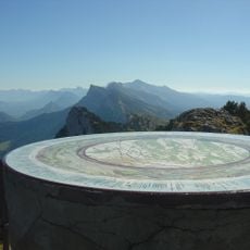
Pic Saint-Michel is a summit of the Montagnes de Lans in the Vercors, reaching 1,966 metres, 245 metres above the surrounding terrain. It stands about 11 km south-west of Grenoble, within the commune of Varces-Allières-et-Risset. La Grande Moucherolle, at 2,284 metres, lies 10.4 km to the north-east.
Pic Saint-Michel is the culminating point of the Montagnes de Lans, a range in the French Prealps northeast of the Vercors. The summit rises 245 metres above the surrounding terrain and stands about 11 km southwest of Grenoble, within the commune of Varces-Allières-et-Risset. Its slopes are wooded, and the higher ground of La Grande Moucherolle lies 10.4 km to the northeast.
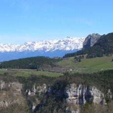
The peak belongs to the Montagnes de Lans, a range within the Vercors Massif, and stands 245 metres above the surrounding terrain, with a base about 2.4 kilometres wide. It lies roughly 11 kilometres southwest of Grenoble, and the land around it is wooded, with beech and fir on the slopes.
Hikers can reach the summit via a marked trail that starts from the Barnets parking area and passes through forests and alpine meadows. The route takes several hours and requires good physical fitness and sturdy footwear to handle the changing elevations.
Pic Saint-Michel reaches 1,966 metres, 245 metres above the surrounding terrain, and belongs to the Montagnes de Lans. It lies about 11 km southwest of Grenoble, and La Grande Moucherolle, at 2,284 metres, rises 10.4 km to the northeast. The summit is the highest point within roughly 2.4 km.
The community of curious travelers
AroundUs brings together thousands of curated places, local tips, and hidden gems, enriched daily by 93,787 contributors worldwide.