Pravouta, mountain summit in the Chartreuse massif, Isère, France
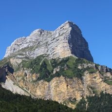
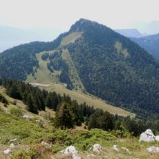
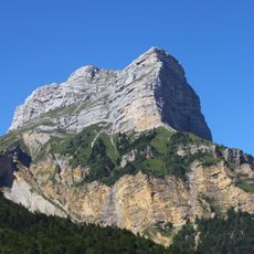
Pravouta is a summit in the Chartreuse massif, part of the French Alps in Isère, rising to 1,760 metres. Its steep grassy slope carries exposed grey rock and scree below the top, with a group of dark green conifers on the upper flank. The summit line continues east as a high grassy ridge.
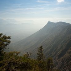
Pravouta is a summit of the Massif de la Chartreuse, rising to 1,760 m, some 261 m above the surrounding terrain, with a base about 2.2 km wide. It lies 18.6 km northeast of Grenoble, and the higher ridge around it reaches 2,030 m about 1.2 km to the west. The slopes below the summit are wooded.
Pravouta lies in the Massif de la Chartreuse, 18.6 km northeast of Grenoble, and its name appears in the local toponymy recorded for this part of the Isère. The slopes below the summit are wooded, and the surrounding land is given over to managed forest rather than alpine pasture. The peak is one of several summits in the Chartreuse massif, the highest nearby rising to 2,030 m about 1.2 km to the west.
The ascent requires appropriate hiking equipment, a reliable map, and regular checking of weather conditions before beginning. The route is best accessed during dry weather and the warmer months of the year.
Pravouta rises 1,760 metres, 261 metres above the surrounding terrain, on the western side of the Massif de la Chartreuse. Grenoble lies 18.6 km to the southwest, and the higher ridge point of about 2,030 metres stands 1.2 km to the east. The summit is a rounded grassy top with exposed grey rock and scree below.
The community of curious travelers
AroundUs brings together thousands of curated places, local tips, and hidden gems, enriched daily by 94,661 contributors worldwide.