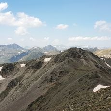
Pic de la Tossa, Mountain summit in Pyrenees Orientales, France
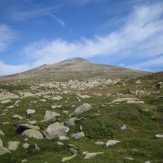
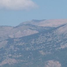
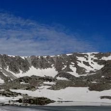
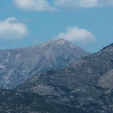
Pic de la Tossa is a mountain in the French Pyrenees located at approximately 2,400 meters elevation, offering views across the Carlit-Péric range and the Canigou massif. A clearing at the summit contains military structures surrounded by pine forests.
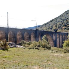
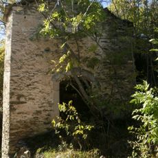
Military topographic surveys established this location as a key monitoring point along the France-Spain border, a role it maintained across generations. The structures at the summit reflect decades of strategic importance to border control.
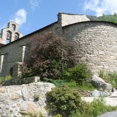
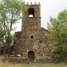
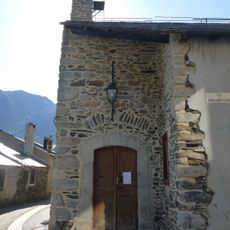
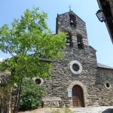
Shepherds from valleys below still move their herds seasonally to pastures on these slopes, following a way of life that connects local communities to the mountain. This practice shapes how people use the land and relates to centuries of living and working in the Pyrenees.
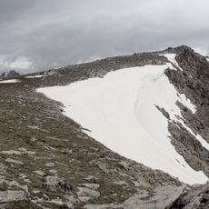
The hike to the summit covers about 9 kilometers with roughly 250 meters of elevation gain, starting from a parking area at the forest road entrance. Trail conditions improve with stable weather and clear visibility.
This location has served as a reference point for military tactical exercises across generations, giving it a hidden role in the region's defense history. The structures and installations here are not what most hikers expect to find on a mountain summit.
The community of curious travelers
AroundUs brings together thousands of curated places, local tips, and hidden gems, enriched daily by 60,000 contributors worldwide.