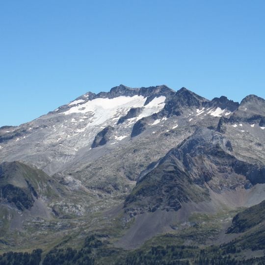
Pic de Sacroux, Mountain summit in Haute-Garonne, France
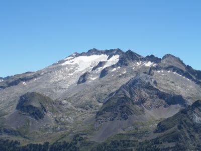
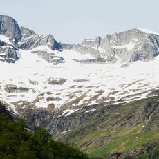
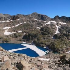
Pic de Sacroux is a mountain summit on the border between France and Spain, 2,714 meters high, with a prominence of 66 meters and a base width of 0.46 kilometers. It lies 10 kilometers north of Bagnères-de-Luchon, and the surrounding terrain is mostly steep mountains and valleys.
The sources record no historical events, dates or human works for Pic de Sacroux; it appears only as a 2,714-metre summit on the French-Spanish border, 10 km north of Bagnères-de-Luchon. The surrounding terrain is high mountain with valleys, and the nearest higher peak, Pic de Maupas at 3,109 m, lies 3.8 km to the east.
The peak lies on the French-Spanish border, 10 km north of Bagnères-de-Luchon, and its slopes fall within a landscape of high Pyrenean valleys and neighbouring summits such as Pic de Maupas, 3.8 km to the east. The area around it is sparsely populated, with about six inhabitants per square kilometre.
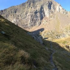
The hike from the Hospice de France parking area takes about 8 to 9 hours round trip with an elevation gain near 1550 meters (5085 feet). Proper hiking boots and weather preparation are essential for this demanding climb.
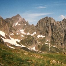
The summit lies on the French-Spanish border, 2,714 metres up, about 10 km north of Bagnères-de-Luchon. The nearest higher peak is Pic de Maupas, 3,109 metres, some 3.8 km to the east. The surrounding slopes are mostly bare grassland used for grazing.
The community of curious travelers
AroundUs brings together thousands of curated places, local tips, and hidden gems, enriched daily by 94,661 contributors worldwide.