Chest opened
+${chestReward.xp} XP
Explorer
NOUVEAU ×${chestReward.collectible.quantity}
tapez pour fermer
Chest locked

Open chests in the app

Around Us is built for your phone — chests unlock when you walk, explore and capture nearby places.

Enable Location

We need your location to show you interesting places around you

Discover nearby places

Find interesting locations and hidden gems around you

Precise directions

Get accurate directions and distances to places

Your location is never shared with other users. It's only used when you tap the location button.

Log in to your account

Start exploring — it's free

Trusted by 72,888 travelers worldwide

Continue with Google
Continue with Apple
or

We will send you a code to connect

By continuing, you accept our Terms and Conditions and our Privacy Policy

Check your inbox

We've sent a pincode in your inbox. Please enter the code below.

Boum
Discussion Reviews Photo
200+ Popularity

Boum, Mountain summit in Benasque and Haute-Garonne, Spain and France

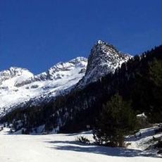
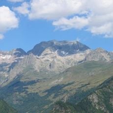
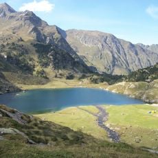
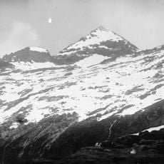
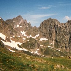
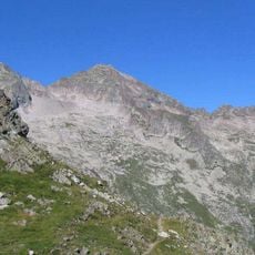
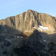
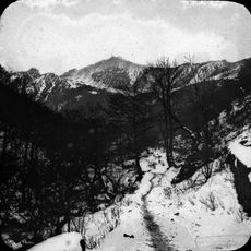
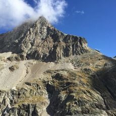
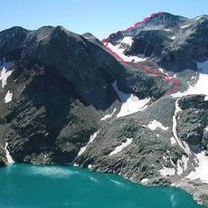
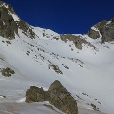
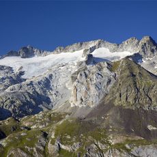
Pic de Boum is a mountain summit at about 3000 meters elevation within the Perdiguero massif, marking the natural border between Spain and France. The peak rises above alpine meadows and rocky slopes that descend into valleys on both the Spanish and French sides.

The summit has served as a natural boundary marker between Aragon and Occitania since 1659, when the Pyrenean border was established between the two kingdoms. This dividing line has remained the frontier between the administrative areas ever since.

The mountain communities on both slopes share similar traditions of pastoralism and mountain living that transcend the border between them. People from the valleys still use seasonal grazing lands and maintain customs that connect them across the dividing ridge.

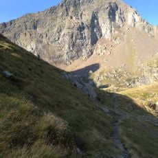
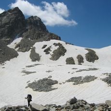
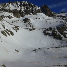
Several hiking routes approach the summit from the Benasque Valley on the Spanish side and from the French valleys, with good trail markings throughout. Sturdy footwear and preparation for changing weather at altitude are strongly recommended for any visit.

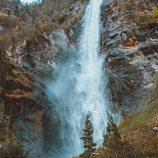
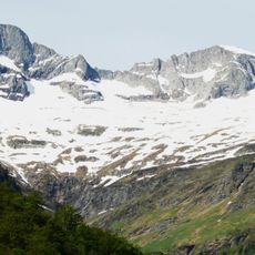
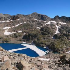
Near the summit, the Forau d'Aigualluts river disappears into an underground cave system before emerging several kilometers away. This hidden water route creates an unusual natural bridge between the two sides of the mountain.

The community of curious travelers

AroundUs brings together thousands of curated places, local tips, and hidden gems, enriched daily by 60,000 contributors worldwide.

Start exploring
Location
Location
Elevation above the sea
3,006 m
GPS coordinates
42.69937,0.55758
Latest update
December 14, 2025 20:21
Reviews
Share your experience

No review yet

Discussions
Start a discussion...

No discussion yet

« Boum - Mountain summit in Benasque and Haute-Garonne, Spain and France » is provided by Around Us (aroundus.com). Images and texts are derived from Wikimedia project under a Creative Commons license. You are allowed to copy, distribute, and modify copies of this page, under the conditions set by the license, as long as this note is clearly visible.

Discover hidden gems everywhere you go!

From secret cafés to breathtaking viewpoints, skip the crowded tourist spots and find places that match your style. Our app makes it easy with voice search, smart filtering, route optimization, and insider tips from travelers worldwide. Download now for the complete mobile experience.

Around Us App Screenshot

A unique approach to discovering new places

Le Figaro

All the places worth exploring

France Info

A tailor-made excursion in just a few clicks

20 Minutes

Around Us
Travel Guide & Maps
Download

Send to your phone

QR Code
1

Open the camera app on your mobile.

2

Point at the QR code with your camera. A notification will appear.

3

Tap the notification to open the link.