Mont Valezan, Mountain summit between Séez and La Thuile, France and Italy
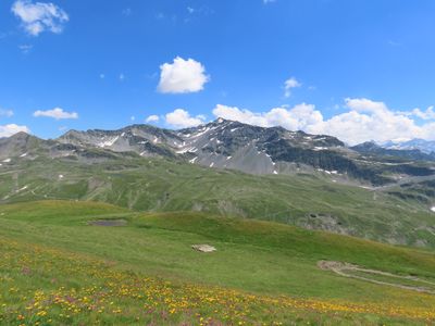
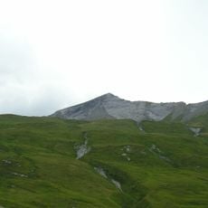
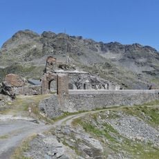
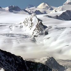
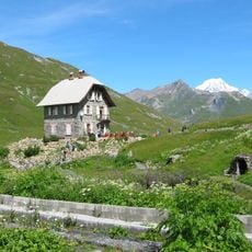
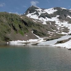
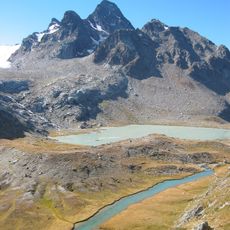
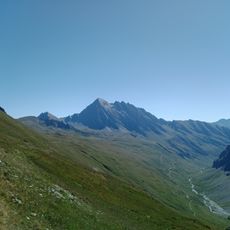
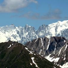
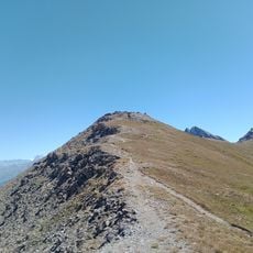
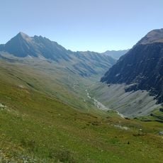
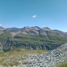
Mont Valezan is a mountain summit at 2,891 meters that marks the natural border between France and Italy in the Savoie Mont Blanc region of the Alps. The peak can be accessed from hiking routes on both the French and Italian sides of the frontier.
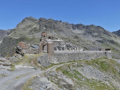
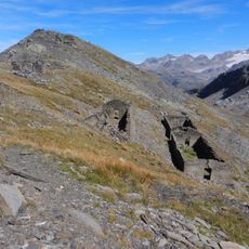
The mountain has served as a geographical boundary marker between French and Italian territories for centuries. This border position has persisted through changing political periods and territorial arrangements.
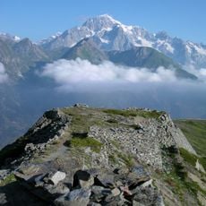
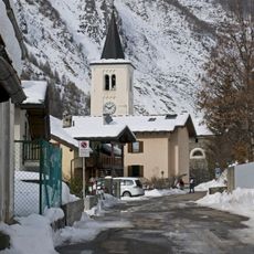
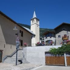
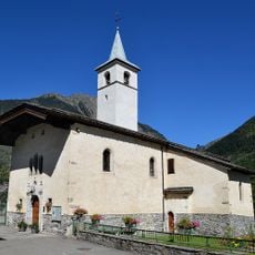
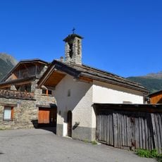
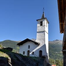
The mountain serves as a meeting point where residents from Séez and La Thuile naturally come together through shared activities. This border zone brings the two communities into regular contact and creates bonds across the frontier.
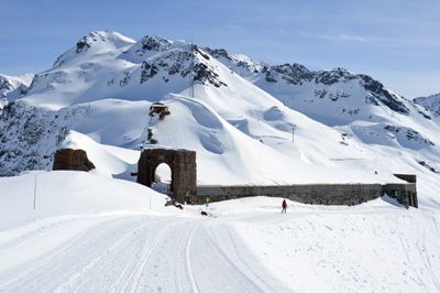
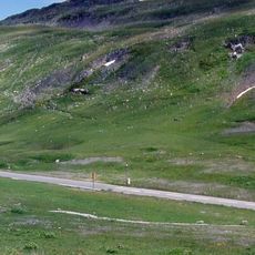
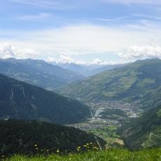
The best time to hike is from mid-June to mid-October when the trails are clear and passable. A full ascent from Les Eucherts takes around 5 to 6 hours and requires standard hiking gear.
The peak is accessible from both sides of the border, allowing hikers to choose their starting point on either the French or Italian side. This dual-access nature gives visitors flexibility in planning their ascent route.
Location: Montvalezan
Location: Séez
Location: La Thuile
Elevation above the sea: 2,891 m
Website: http://geodesie.ign.fr/fiches/index.php?module=e&action=fichepdf&source=carte&sit_no=73176A
GPS coordinates: 45.66384,6.90220
Latest update: December 14, 2025 20:29
Lancebranlette
4.3 km
Fort de la Redoute Ruinée
2.3 km
Glacier of Rutor
8.7 km
Espace San Bernardo
1.2 km
Cromlech of Little St Bernard Pass
2.3 km
Fortificazioni del Colle della Croce
8.7 km
Chanousia Alpine Botanical Garden
2.1 km
Ouvrage Chatelard
10.1 km
Ouvrage Cave-à-Canon
10.5 km
Caposaldo Belvedere
2 km
Pointe d'Archeboc
10.8 km
Grand Assaly
5.4 km
Mont Berrio Blanc
9.9 km
Chiesa di San Nicola
7.1 km
Église Saint-Pierre de Séez
9.2 km
Panoramic Experience
2.2 km
Scenic viewpoint
5.2 km
Église Notre-Dame de l’Assomption de Villaroger
8.3 km
Église Saint-Michel du Châtelard
6.3 km
Mont Fortin
10.9 km
Église Sainte-Foy de Sainte-Foy-Tarentaise
8.3 km
Chapelle Saint-Claude de Sainte-Foy-Tarentaise
7.2 km
Chapelle funéraire de l'abbé Chanoux de Séez
2.1 km
Chapelle Saint-Jean-Baptiste du Pré Derrière
8.2 km
Vallon de Chavannes
8.2 km
Chapelle Saint-Michel du Pré
8.4 km
Golf de la Rosière
5.1 km
Les Grandes Aiguilles
10.3 kmVisited this place? Tap the stars to rate it and share your experience / photos with the community! Try now! You can cancel it anytime.
Discover hidden gems everywhere you go!
From secret cafés to breathtaking viewpoints, skip the crowded tourist spots and find places that match your style. Our app makes it easy with voice search, smart filtering, route optimization, and insider tips from travelers worldwide. Download now for the complete mobile experience.
A unique approach to discovering new places❞
— Le Figaro
All the places worth exploring❞
— France Info
A tailor-made excursion in just a few clicks❞
— 20 Minutes