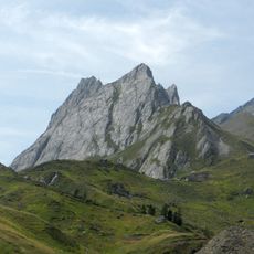
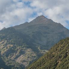
Lancebranlette, Alpine summit in Graian Alps, France
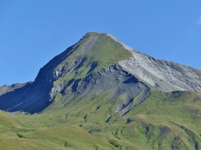
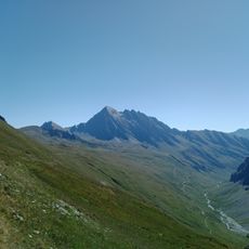
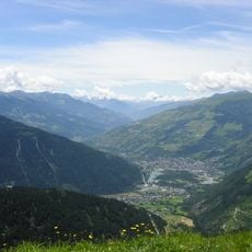
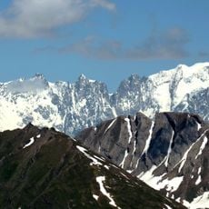
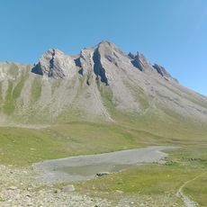
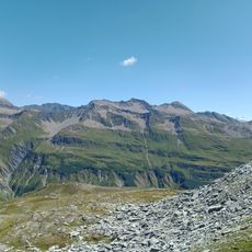
Lancebranlette is an Alpine summit in the Graian Alps positioned between the French Savoie region and the Italian Aosta Valley within the Mont Blanc massif. The peak stands at 2,936 meters and its composition of limestone and marl reflects the geological character of this high mountain region.
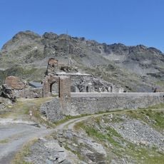
An orientation table installed by the Touring Club de France in 1913 stands near the summit to indicate surrounding peaks and their heights. This marker reflects early alpine tourism and surveying efforts in the region during the early 20th century.
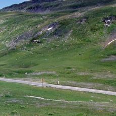
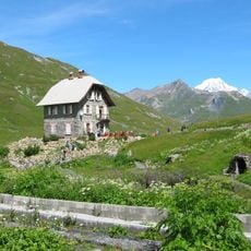
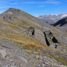
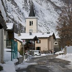
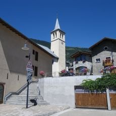
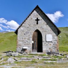
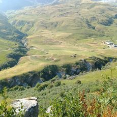
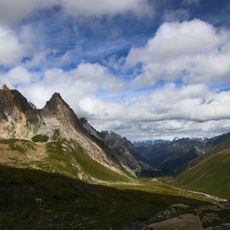
The mountain area contains traditional paths that merchants and religious travelers used when crossing between France and Italy through the Petit Saint Bernard pass.
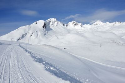
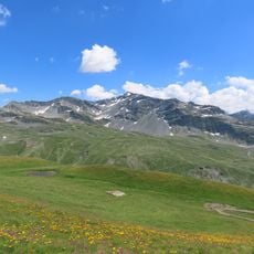
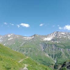
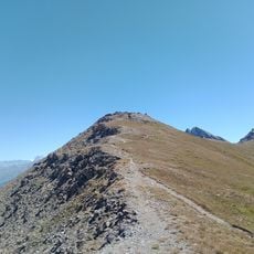
Hikers can start their ascent from the Petit Saint Bernard Pass, following a route of roughly 10 kilometers with an elevation gain of around 840 meters to reach the summit. The best time to climb is during the warmer months when snow has melted and the paths are fully accessible.
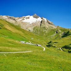
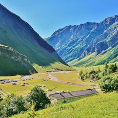
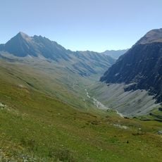
The peak sits within the extensive Mont Blanc massif alongside hundreds of other summits, each contributing to the complex ridge system of this major Alpine range. Its border location between France and Italy means the paths leading to it have served travelers crossing between the two countries for centuries.
The community of curious travelers
AroundUs brings together thousands of curated places, local tips, and hidden gems, enriched daily by 60,000 contributors worldwide.