Pic de la Mina, Mountain summit in Porté-Puymorens, France
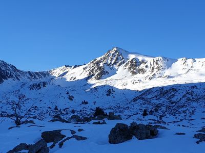
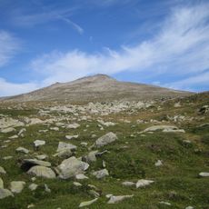
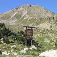
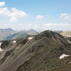
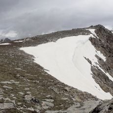
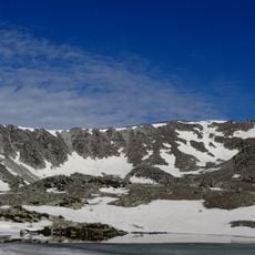
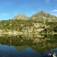
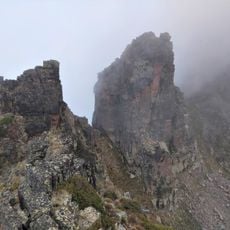
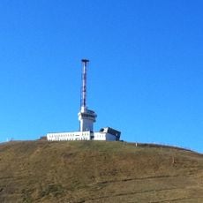
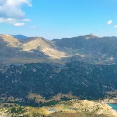
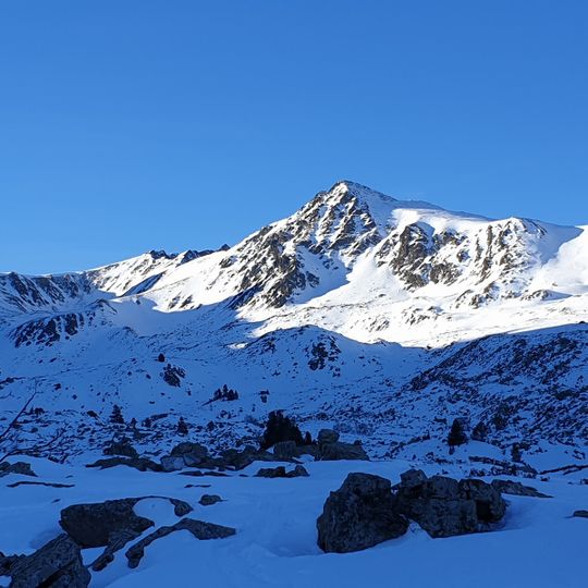
Pic de la Mina is a 2,680.6-metre mountain in the Carlit Massif, in the commune of Portè, Alta Cerdanya, Northern Catalonia. It links the Carlit Massif with the Pyrenean axial ridge, just southwest of Pic de Fontfreda and north-northwest of Pic de les Valletes. The Portè-Pimorent ski area covers its northeastern slope, and Estany de l'Orri de la Vinyola lies at its southeastern foot.
The summit lies in the Carlit Massif, in the western part of the commune of Porté, and links that massif with the axial Pyrenean ridge. The Portè-Puymorens ski area extends over its north-eastern slope, between the peak and the Col de Pimorent. The mountain is a frequent objective of hiking and ski-mountaineering routes in the massif.
The mountain's name, "Mina" (mine), recalls the iron extraction that shaped Porté-Puymorens; the village's iron mines were worked until the 20th century. The summit is a regular goal of the hiking and ski-mountaineering routes of the Carlit massif, and the Porté-Puymorens ski area covers its north-eastern slope.
The summit lies in the western part of the Portè commune, between the Portè-Puymorens ski area on its north-east slope and the lakes of l'Orri de la Vinyola to the south-east and dels Pedrons to the west. It is reached on foot or on skis from the Carlit massif routes; the climb is sustained and the terrain high, so plan for mountain conditions.
The Portè-Puymorens ski area spreads across the mountain's north-eastern slope, between the summit and the Col de Pimorent. The Estany de l'Orri de la Vinyola lies at the south-eastern foot of the mountain, and the Estany dels Pedrons to the west.
The community of curious travelers
AroundUs brings together thousands of curated places, local tips, and hidden gems, enriched daily by 94,458 contributors worldwide.