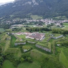
Glacier de l'Isère, Alpine glacier in Savoie and Isère, France
Glacier de l'Isère is an Alpine glacier located where Savoie and Isère meet in the French Alps, positioned beneath Grande Aiguille Rousse. It forms the birthplace of the Isère River at a high mountain elevation.
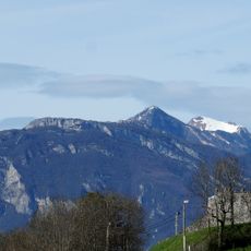
The glacier formed from ancient snow accumulation high in the Alpine peaks over thousands of years. In recent centuries it has noticeably shrunk in size.
The glacier influences regional water management through the Tignes Dam, constructed in 1952, which stores 225 million cubic meters of water for irrigation and tourism.
Visitors can reach the glacier by hiking from Val d'Isère through alpine terrain where mountain wildlife roams freely. The route demands proper mountain preparation and suitable equipment for high-altitude conditions.
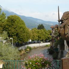
The glacier's meltwater feeds a river system that flows for hundreds of kilometers across the landscape, sustaining communities and habitats far beyond the mountains. This connection reveals how a single glacier shapes the lives of many people downstream.
The community of curious travelers
AroundUs brings together thousands of curated places, local tips, and hidden gems, enriched daily by 60,000 contributors worldwide.