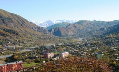
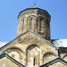
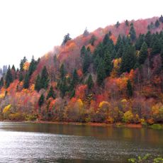
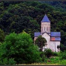
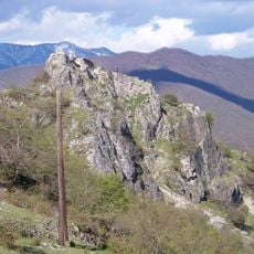
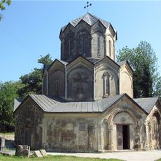
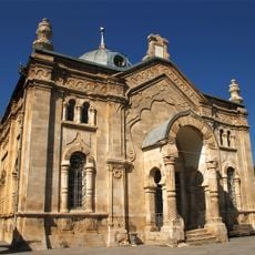
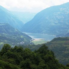
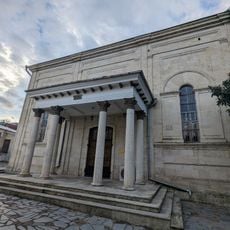
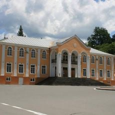
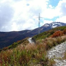
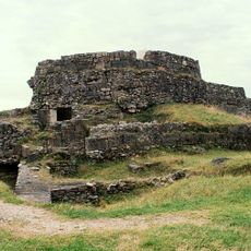
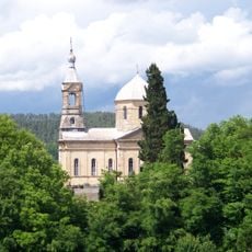
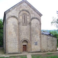
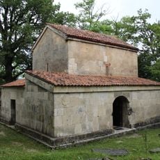
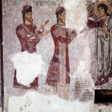
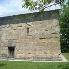
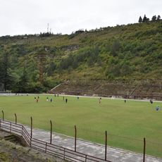
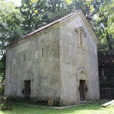
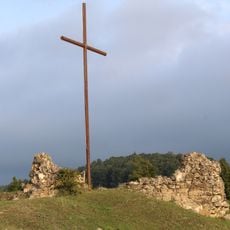
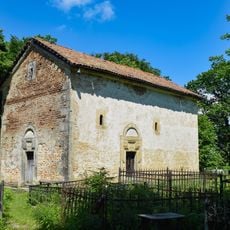
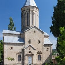
Ambrolauri, city
Location: Ambrolauri Municipality
Elevation above the sea: 550 m
Website: http://ambrolauri.ge
GPS coordinates: 42.51944,43.15000
Latest update: April 2, 2025 08:40
Katskhi pillar
26.4 km
Gelati Monastery
40.1 km
Bagrati Cathedral
45.5 km
Nikortsminda Cathedral
8.4 km
Motsameta monastery
41.6 km
Shaori Reservoir
12.3 km
Barakoni
5.4 km
Modinakhe fortress
28.1 km
Katskhi Monastery
28.3 km
Akaki Tseteli's House Museum
29 km
Mghvimevi monastery
27.7 km
Tkibuli Reservoir
30.8 km
Oni Synagogue
25.4 km
Lajanura Reservoir
26.9 km
Kutaisi Synagogue
45.4 km
Ambrolauri Museum of Fine Arts
306 m
Latpari pass
43.6 km
Uqimerioni Fortress
45.4 km
Mtsvanekvavila church
44.8 km
Savane church
33.8 km
Darkveti church
24.3 km
Zemo Krikhi Church of the Archangel
4.4 km
Speti church of the Savior
34.3 km
Temur Maghradze Stadium
28.4 km
Ekhvevi church
37.9 km
Category:Bzhinevi fortress
30.6 km
Დიდი ჩხირაულის წმინდა გიორგის ეკლესია
40.1 km
Saint George Church, Kutaisi
45.3 kmVisited this place? Tap the stars to rate it and share your experience / photos with the community! Try now! You can cancel it anytime.
Discover hidden gems everywhere you go!
From secret cafés to breathtaking viewpoints, skip the crowded tourist spots and find places that match your style. Our app makes it easy with voice search, smart filtering, route optimization, and insider tips from travelers worldwide. Download now for the complete mobile experience.
A unique approach to discovering new places❞
— Le Figaro
All the places worth exploring❞
— France Info
A tailor-made excursion in just a few clicks❞
— 20 Minutes