Greenland ice sheet, Ice sheet in Greenland.
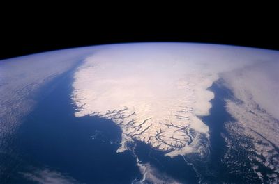
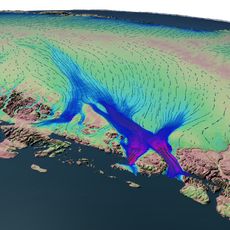
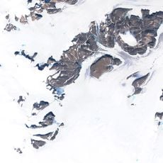
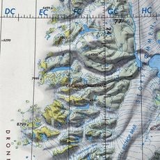
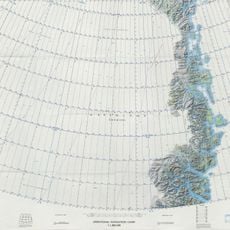
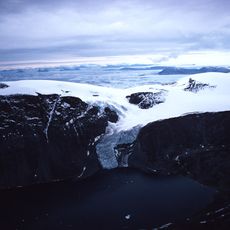
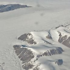
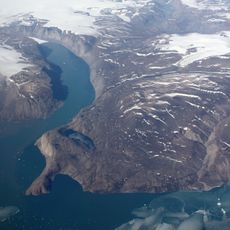
The Greenland ice sheet covers nearly the entire island, blanketing roughly four-fifths of the land with a thick layer of frozen water. In some places the ice reaches almost two miles (three kilometers) deep, forming a vast white expanse that runs from the coasts far into the interior.
The ice began accumulating over two million years ago as the climate cooled and snow piled up year after year. Over time the weight of the upper layers compressed the snow into solid ice, forming the mass that exists today.
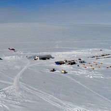
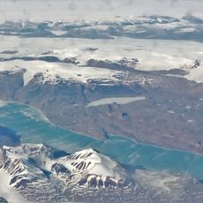
Researchers from several countries work in camps on the ice, drilling samples that show how climate shifted over thousands of years. The stations remain occupied year-round and provide information that helps understand the behavior of frozen water.
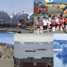
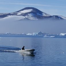
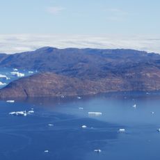
Visitors need permits and must travel with experienced guides to reach the ice safely, as crevasses and shifting conditions pose dangers. Most organized trips depart from Kangerlussuaq during the warmer months when weather conditions are more stable.
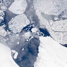
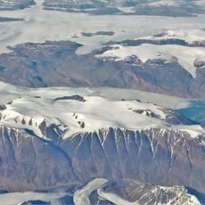
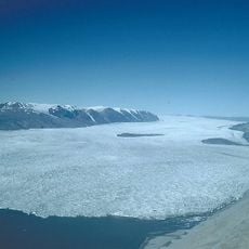
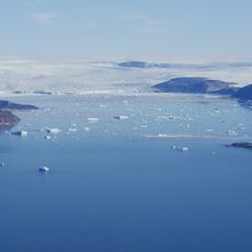
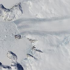
Some sections of the ice move slowly toward the sea, flowing like a very slow river under their own weight. This motion creates sounds that resemble deep groaning as the ice shifts and adjusts.
The community of curious travelers
AroundUs brings together thousands of curated places, local tips, and hidden gems, enriched daily by 60,000 contributors worldwide.