
Kalinko, sub-prefecture and town in Faranah Region, Guinea
Location: Dinguiraye Prefecture
GPS coordinates: 11.11667,-11.18333
Latest update: April 1, 2025 02:36

Niokolo-Koba National Park
291 km
General Lansana Conté Stadium
314.9 km
Loma Mansa
210.5 km
Télimélé
203.6 km
National Park of Upper Niger
127.6 km
Outamba-Kilimi National Park
175.8 km
Stade Petit Sory
315.1 km
Bassari Country
244.6 km
Badiar National Park
286.2 km
Dindefelo Falls
186.5 km
Mine de Siguiri
205.5 km
Pinselly Classified Forest
119.9 km
Lake Manantali
244.9 km
Talari Gorges
297.8 km
Stade Régional Saifoullaye Diallo
120.7 km
Tayaki Beach
310.3 km
Kamablon of Kangaba
316.1 km
Kambadaga Falls
143.7 km
Forêt de Dalaba
125.1 km
Kouratier
127.6 km
Musée du Camp Soundiata Keita
220.8 km
Chute de Ditinn
114.6 km
Cascade de Tabouna
213.8 km
Villa de Dalaba
127.8 km
Case à palabres de Dalaba
127.8 km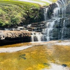
Cascade de la Soumba
282.2 km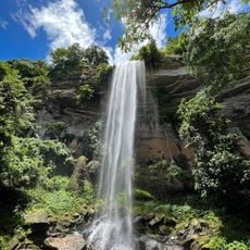
Cascade du Voile de la Mariée
217 km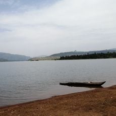
Lac de Samaya
231.4 kmReviews
Visited this place? Tap the stars to rate it and share your experience / photos with the community! Try now! You can cancel it anytime.
Discover hidden gems everywhere you go!
From secret cafés to breathtaking viewpoints, skip the crowded tourist spots and find places that match your style. Our app makes it easy with voice search, smart filtering, route optimization, and insider tips from travelers worldwide. Download now for the complete mobile experience.

A unique approach to discovering new places❞
— Le Figaro
All the places worth exploring❞
— France Info
A tailor-made excursion in just a few clicks❞
— 20 Minutes