Urjala, municipality in the region of Pirkanmaa in Finland
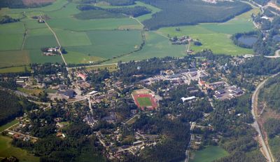
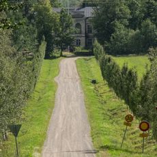
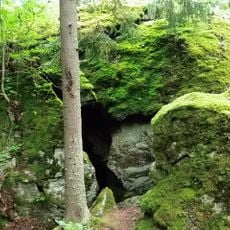
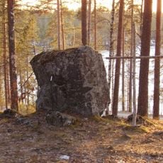
Urjala is a small municipality in the Pirkanmaa region with around 4600 residents, situated on highway 9 between Tampere and Turku. The area is defined by forests, fields, and lakes, and features a town square, library, sports facilities, and various public gathering places.
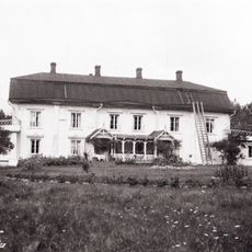
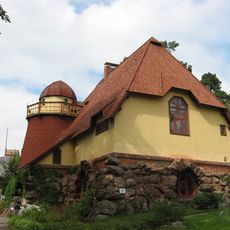
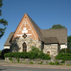
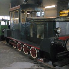
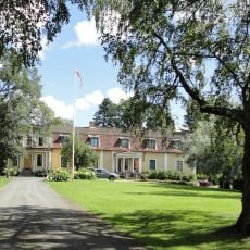
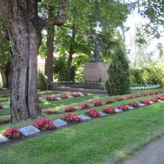
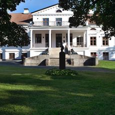
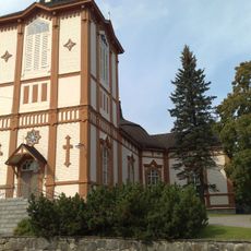
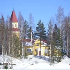
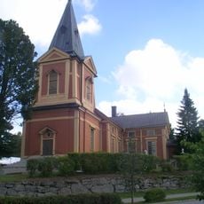
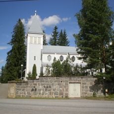
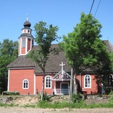
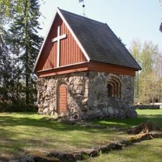
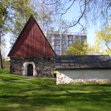
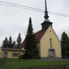
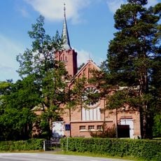
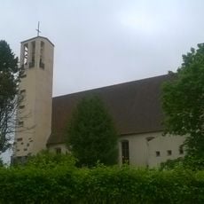
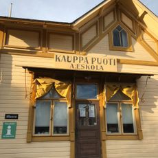
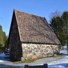
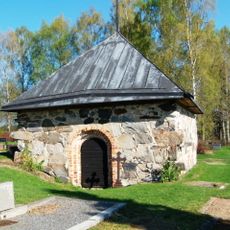
The town has over 150 years of history and was once centered on farming and living close to the natural environment. Old farmhouses and churches remain as reminders of how generations of families built their lives and connections to the land.
The name reflects an ancient Finnish connection to the natural landscape and local roots. Visitors can observe traditional crafts being practiced and see residents gather in folk clothing during community celebrations and festivals.
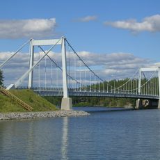
The town is easily accessible by car with parking available near the town square and public facilities. Visitors can find shops, cafes, accommodations, and information points to help plan activities such as hiking, cycling, or swimming in the surrounding lakes.
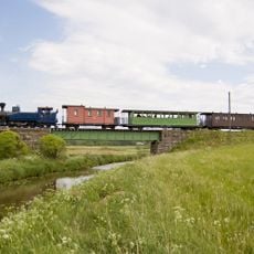
The town sits on a scenic route popular with travelers moving between Tampere and Turku, a path that drivers and cyclists often choose for slower journeys through the countryside. This route offers visitors unexpected views of the Finnish interior that many tourists overlook.
The community of curious travelers
AroundUs brings together thousands of curated places, local tips, and hidden gems, enriched daily by 60,000 contributors worldwide.