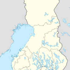
Luumäki, municipality in the region of South Karelia in Finland
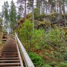
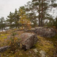
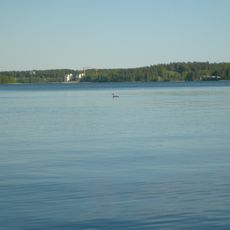
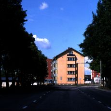
Luumäki is a municipality in the South Karelia region that extends quietly around lakes and rivers. The area is marked by forests, clear water, and scattered farms that define the face of a traditional Finnish rural landscape.
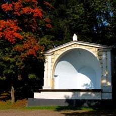
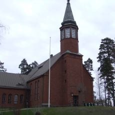
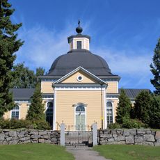
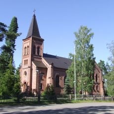
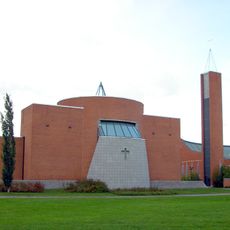
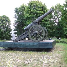
Luumäki became an independent settlement in 1642, having previously been part of the larger Lappee area. The region experienced multiple destructions from wars and fires that repeatedly damaged its early church, yet the community persisted in preserving its historical structures and way of life.
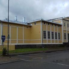
Luumäki hosts a summer jazz festival called Vallijamit that brings musicians and visitors together in the town. The converted school buildings now serve as a library where people come to explore local stories and traditions.
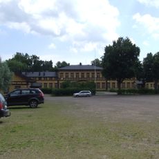
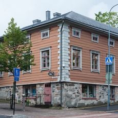
Most shops and services are found near the town hall or main roads, with the local library open for reading and relaxation. The nearest larger town of Lappeenranta lies about 40 kilometers away and offers more shopping, restaurants, and a train station for travel outside the region.
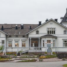
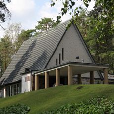
Kotkaniemi, the former home of Finnish President P.E. Svinhufvud built in Art Nouveau style in the late 1800s, sits along the historic Itsenäisyydentie road and shows the link between local history and Finland's independence struggle. Visitors can tour the well-restored house and learn about the president's life and legacy.
The community of curious travelers
AroundUs brings together thousands of curated places, local tips, and hidden gems, enriched daily by 60,000 contributors worldwide.