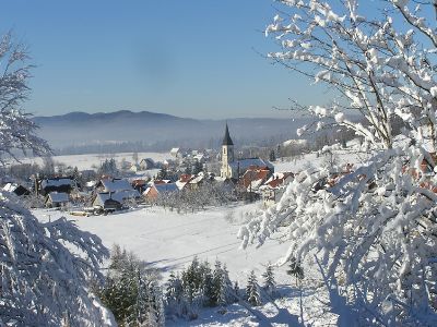
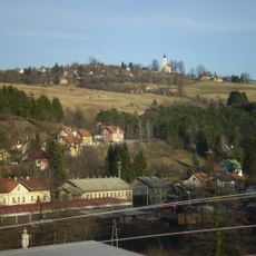
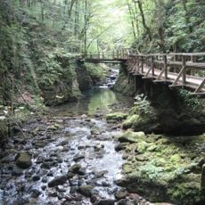
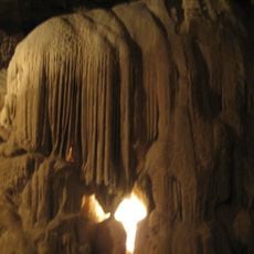
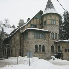
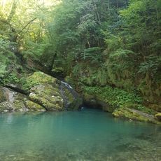
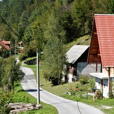
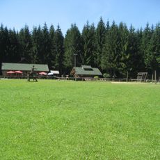
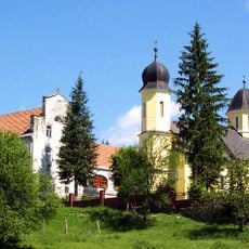
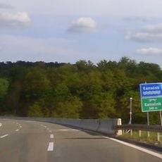
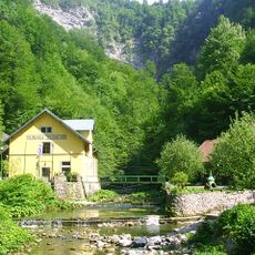
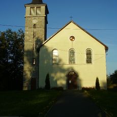
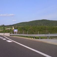
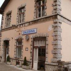
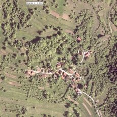
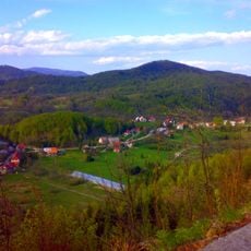
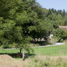
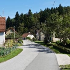
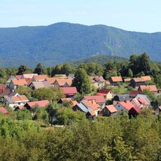
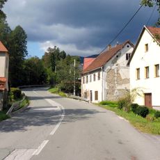
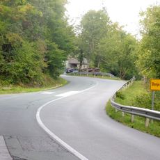
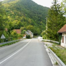
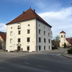
Ravna Gora, municipality of Croatia
Location: Primorje-Gorski Kotar County
Elevation above the sea: 792 m
Website: https://ravnagora.hr
GPS coordinates: 45.37278,14.93528
Latest update: March 29, 2025 19:34
Moravice
8.3 km
Kamačnik Canyon
10.1 km
Lokvarka Cave
13.6 km
Stara Sušica, Ravna Gora
4.7 km
Zeleni vir
6.3 km
Čučak
10.6 km
Park-šuma Golubinjak
13.5 km
Gomirje Monastery
14.2 km
Spomenik 26 smrznutih partizana
10.1 km
Kupica
11.9 km
Bitoraj
14.4 km
Kamačnik Bridge
10.3 km
Curak
10.7 km
Kupjak
4.7 km
Dobra Bridge
11.5 km
Zalesina
5.4 km
Šije
2.4 km
Nežica
13.1 km
Belo
11.7 km
Radigojna
10 km
Rogi
7.8 km
Krivac
11.3 km
Golik
11.4 km
Gornji Kuti
11.5 km
Gornje Tihovo
9.9 km
Donje Tihovo
9.6 km
Mala Lešnica
10 km
Zrínyi-kastély
11.9 kmVisited this place? Tap the stars to rate it and share your experience / photos with the community! Try now! You can cancel it anytime.
Discover hidden gems everywhere you go!
From secret cafés to breathtaking viewpoints, skip the crowded tourist spots and find places that match your style. Our app makes it easy with voice search, smart filtering, route optimization, and insider tips from travelers worldwide. Download now for the complete mobile experience.
A unique approach to discovering new places❞
— Le Figaro
All the places worth exploring❞
— France Info
A tailor-made excursion in just a few clicks❞
— 20 Minutes