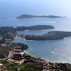
Plat, Župa dubrovačka, Coastal settlement in Župa dubrovačka, Croatia.
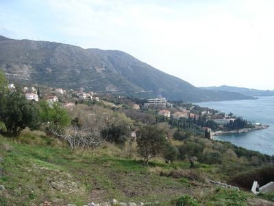
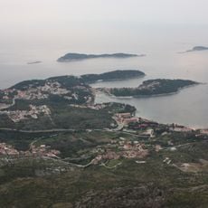
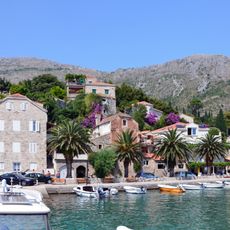
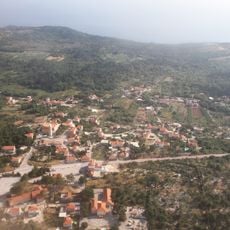
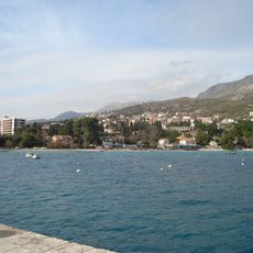
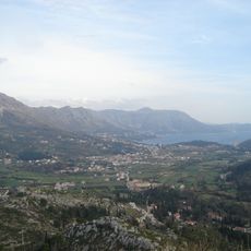
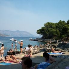
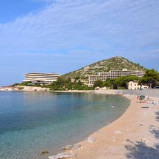
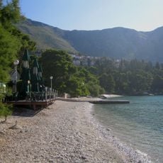
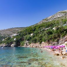
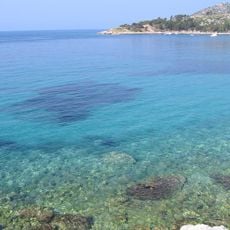
Plat is a settlement on the Adriatic coastline that spreads along a rocky cove with whitewashed stone houses featuring flat roofs and narrow pathways. The village sits at the foot of green hills that descend steeply toward the sea, with a natural harbor and several small beaches offering access to the water.
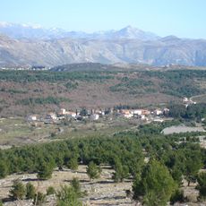
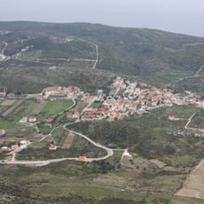
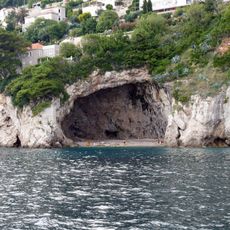
The settlement developed in ancient times as a trading post and later became a strategic observation point during the Republic of Ragusa to monitor maritime traffic along the Dalmatian coast. For centuries it functioned as an anchor point for fishing boats and merchant vessels that served the region.
You can observe local fishermen mending their nets by the shore and watch traditional Dalmatian cooking methods practiced in family-run restaurants throughout the village. These daily routines connect residents to centuries of coastal living that shape the settlement's identity today.
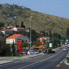
You can reach the settlement via the coastal road connecting Dubrovnik Airport to the Old Town, with regular bus services operating throughout the day. The road becomes busy during summer months, so traveling in early morning or late afternoon helps you avoid traffic congestion.
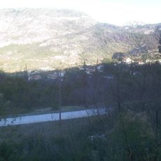
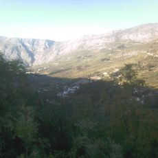
Hidden within the mountains above the settlement is a hydroelectric facility fed by underground tunnels that channel water to turbines generating power for the region. The entire system is embedded in the rock and remains invisible from the village, providing clean energy without disrupting the landscape.
The community of curious travelers
AroundUs brings together thousands of curated places, local tips, and hidden gems, enriched daily by 60,000 contributors worldwide.