Ilijin Vrh, قمة جبل في كرواتيا
Location: Dubrovnik-Neretva County
GPS coordinates: 42.49833,18.38694
Latest update: August 24, 2025 09:26
Pasjača
5.9 km
Đurinići
6.1 km
Sokol Fortress
5.2 km
Pasjača
5.6 km
Gruda, Konavle
2.6 km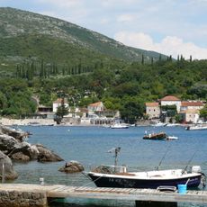
Molunat
6.4 km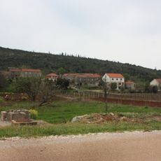
Vitaljina
11.1 km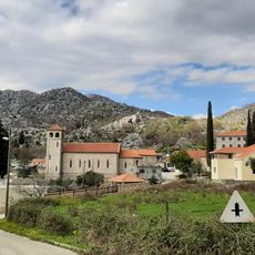
Dubravka
5.1 km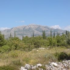
Snježnica i Konavosko polje
8.8 km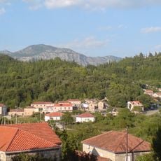
Popovići
6.1 km
Konavoske stijene
4.5 km
Pridvorje, Konavle
6.6 km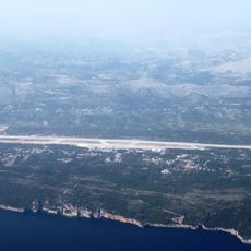
Močići
12.7 km
Radovčići
4 km
Dunave
4.8 km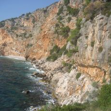
Konavoske stijene
3.9 km
Poljice
747 m
Ljuta
4.5 km
Pločice
2.4 km
Mikulići, Konavle
2.7 km
Komaji
7.8 km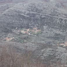
Duba Konavoska
12.1 km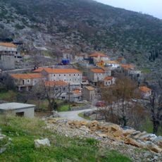
Kuna Konavoska
8.2 km
Gabrili
11.8 km
Palje Brdo
2.6 km
Šilješki
11 km
Drvenik, Konavle
9.8 km
Zastolje
3.4 kmReviews
Visited this place? Tap the stars to rate it and share your experience / photos with the community! Try now! You can cancel it anytime.
Discover hidden gems everywhere you go!
From secret cafés to breathtaking viewpoints, skip the crowded tourist spots and find places that match your style. Our app makes it easy with voice search, smart filtering, route optimization, and insider tips from travelers worldwide. Download now for the complete mobile experience.

A unique approach to discovering new places❞
— Le Figaro
All the places worth exploring❞
— France Info
A tailor-made excursion in just a few clicks❞
— 20 Minutes