
Dabar Vára, vár Horvátországban
Location: Otočac
Inception: 14 century
Elevation above the sea: 693 m
Made from material: stone
GPS coordinates: 44.95778,15.29444
Latest update: June 21, 2025 09:53

Kuterevo
19.6 km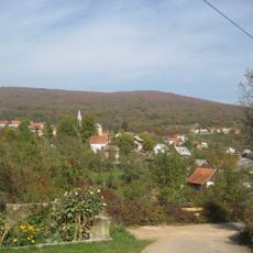
Kuterevo
19.1 km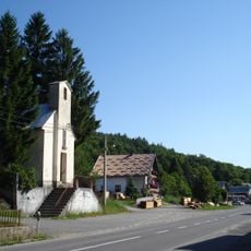
Modruš
21.5 km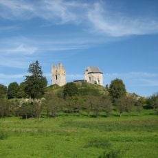
Sokolac Castle
13.6 km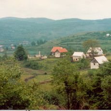
Dabar, Lika-Senj County
18 km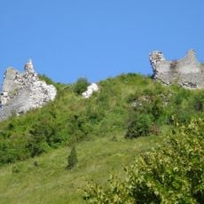
Tržan Castle in Modruš
21.6 km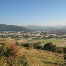
Gacko polje
12 km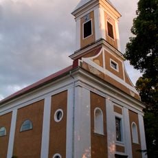
Sinac
14.6 km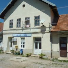
Ličko Lešće
17.7 km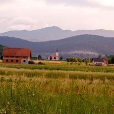
Prozor, Otočac
12.3 km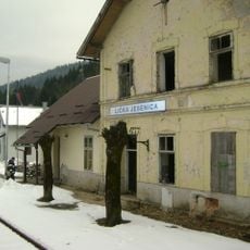
Lička Jesenica
12.3 km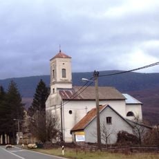
Jezerane
14.8 km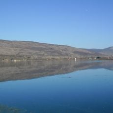
Brlog
12.8 km
Dolina Dretulje
15.2 km
Švica
13.5 km
Švičko Jezero
13.1 km
Križpolje
12.4 km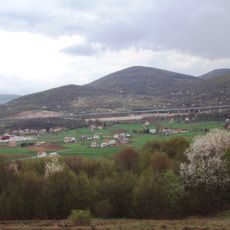
Kompolje, Otočac
12.5 km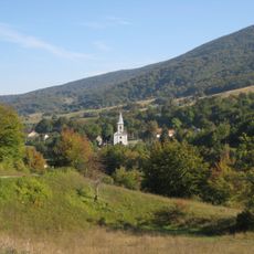
Lipice
13.5 km
Holy Trinity church
10.8 km
Rudopolje
17.7 km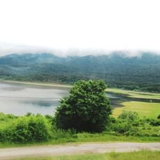
Blata
11.7 km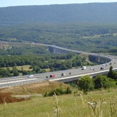
Jezerane Viaduct
13.2 km
Brloška Dubrava
13.1 km
Drenov Klanac
7.9 km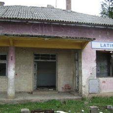
Latin
17.2 km
Vojnovac
21.2 km
Gorići
16.7 kmReviews
Visited this place? Tap the stars to rate it and share your experience / photos with the community! Try now! You can cancel it anytime.
Discover hidden gems everywhere you go!
From secret cafés to breathtaking viewpoints, skip the crowded tourist spots and find places that match your style. Our app makes it easy with voice search, smart filtering, route optimization, and insider tips from travelers worldwide. Download now for the complete mobile experience.

A unique approach to discovering new places❞
— Le Figaro
All the places worth exploring❞
— France Info
A tailor-made excursion in just a few clicks❞
— 20 Minutes