Western Transdanubia, Statistical planning region in western Hungary.
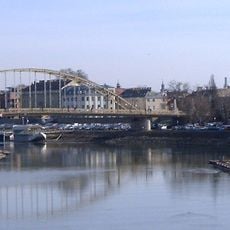
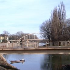
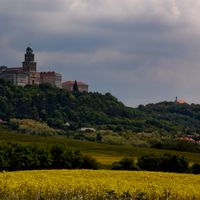
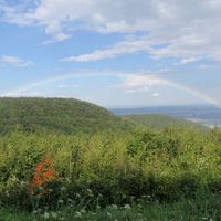
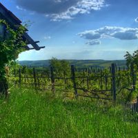
Western Transdanubia is a planning region in western Hungary comprising three counties with mixed landscapes of flatland, hills, and urban centers. The area spans around 11,200 square kilometers and connects rural villages with medium-sized towns like Győr and Szombathely.
The area was restructured after Hungary joined the European Union and replaced traditional administration with larger regional planning units. This reorganization enabled better alignment with European development programs.
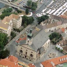
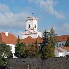
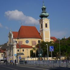
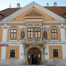
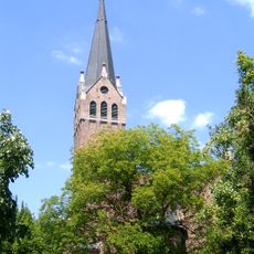
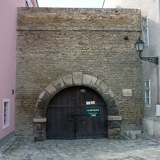
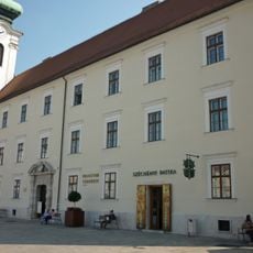
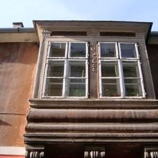
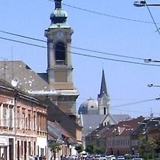
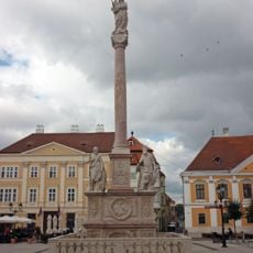
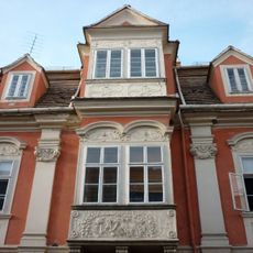
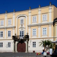
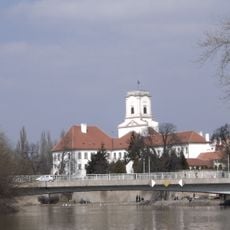
The three counties maintain local traditions visible in village churches, castles, and monasteries where visitors can encounter regional crafts and local food. These historical buildings shape the landscape and express the area's identity through their architecture.
Visitors can explore the region by car or train while using regional information centers in larger towns. Most attractions are accessible during daylight hours and easy to reach by local roads.
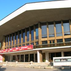
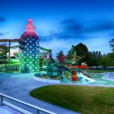
This part of Hungary shows stronger economic development compared to other regions, visible in modern infrastructure and business activity. This economic strength sets it apart from less developed areas of the country.
The community of curious travelers
AroundUs brings together thousands of curated places, local tips, and hidden gems, enriched daily by 60,000 contributors worldwide.