
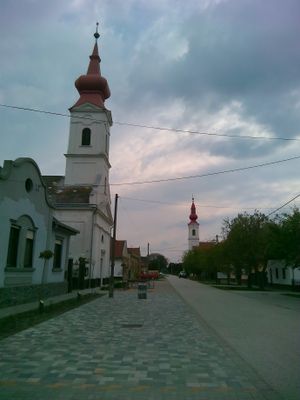
Harta, village in Hungary
Location: Dunavecse District
Location: Kalocsa District
Website: http://www.harta.hu
Website: http://harta.hu
GPS coordinates: 46.69449,19.02738
Latest update: June 9, 2025 02:53
Kiskunság National Park
15.5 km
Lake Szelid
7.2 km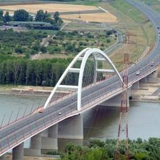
Pentele Bridge
23.8 km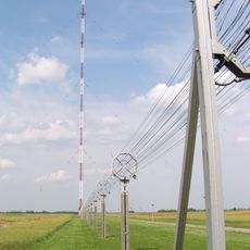
Transmitter Solt
15.6 km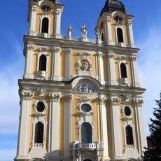
Assumption Cathedral
18.8 km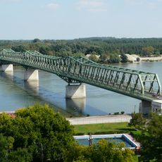
József Beszédes Bridge
14.8 km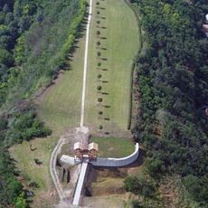
Castrum Lussonium
11.9 km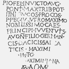
Castra Annamatia
21 km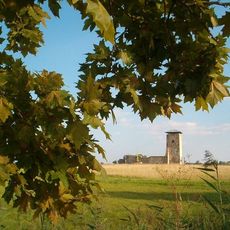
Maimed tower in Soltszentimre
17.1 km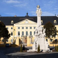
Archiepiscopal Palace in Kalocsa
18.7 km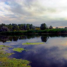
Kostök-holtág
16.5 km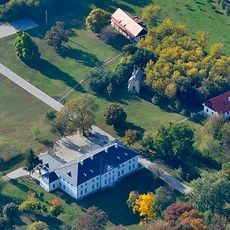
Szakáts Mansion and chapel in Bölcske
9.6 km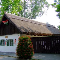
Petőfi House and Memorial Museum in Kiskőrös
21.4 km
Burgus Dunakömlőd
12.3 km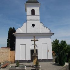
Saints Roch and Sebastian Chapel, Paks
13.4 km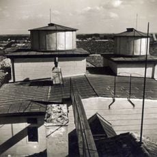
Haynald Observatory
18.8 km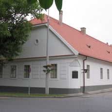
Szeniczey Mansion, Paks
14.3 km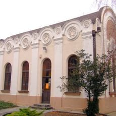
Synagogue, Kiskőrös
21.4 km
Art Gallery of Paks
15.8 km
Viski Károly Múzeum
19 km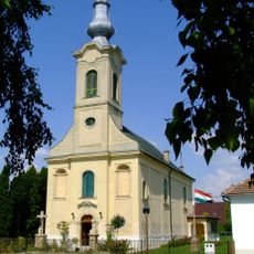
Our Lady of Hungary Church, Dunapataj
6.2 km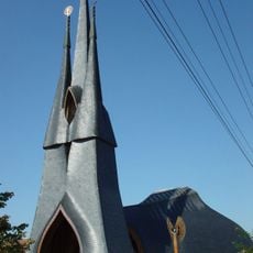
Szentlélek templom (Paks)
16.4 km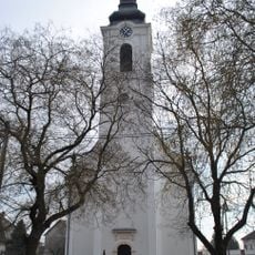
Evangélikus templom (Madocsa)
5.2 km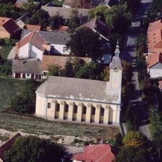
Lutheran church in Apostag
21.6 km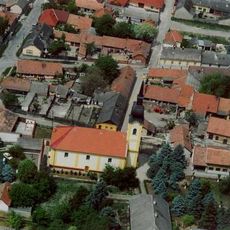
Iglesia de San Miguel
28.2 km
Lutheran Church, Dunaföldvár
15.2 km
Church of the Nativity of the Virgin Mary, Előszállás
21.9 km
Jézus Szíve templom
14.4 kmReviews
Visited this place? Tap the stars to rate it and share your experience / photos with the community! Try now! You can cancel it anytime.
Discover hidden gems everywhere you go!
From secret cafés to breathtaking viewpoints, skip the crowded tourist spots and find places that match your style. Our app makes it easy with voice search, smart filtering, route optimization, and insider tips from travelers worldwide. Download now for the complete mobile experience.

A unique approach to discovering new places❞
— Le Figaro
All the places worth exploring❞
— France Info
A tailor-made excursion in just a few clicks❞
— 20 Minutes