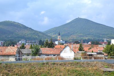
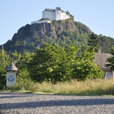
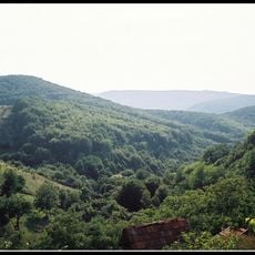
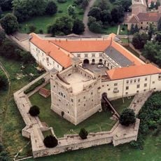
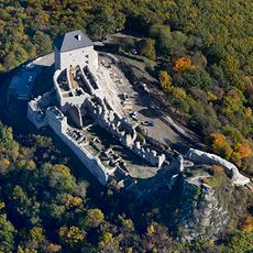
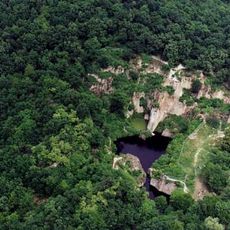
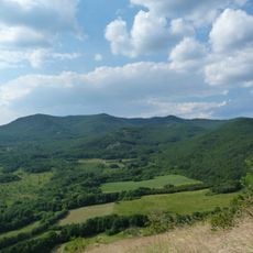
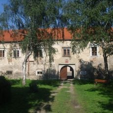
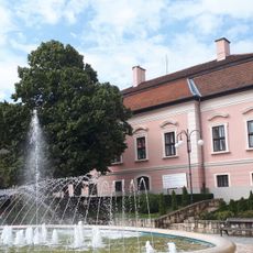
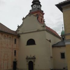
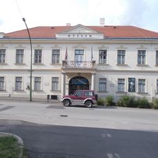
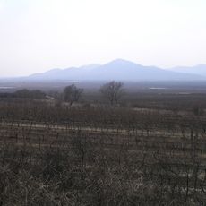
Sátoraljaújhely District, district of Hungary
The community of curious travelers
AroundUs brings together thousands of curated places, local tips, and hidden gems, enriched daily by 60,000 contributors worldwide.
Location
Inception
January 1, 2013
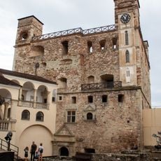
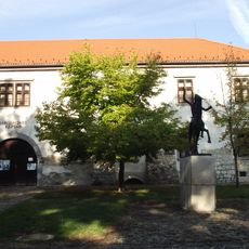
Capital city
Sátoraljaújhely
Shares border with
Cigánd District, Sárospatak District, Gönc District, Košice-okolie District, Trebišov District
GPS coordinates
48.45000,21.51667
Latest update
March 26, 2025 07:32