
Dunaszentmiklós, village in Hungary
Location: Tata District
Website: http://www.dunaszentmiklos.hu
Shares border with: Neszmély, Tardos, Tata, Szomód
Website: http://dunaszentmiklos.hu
GPS coordinates: 47.70567,18.37958
Latest update: May 3, 2025 08:06

Lake Öreg
8.3 km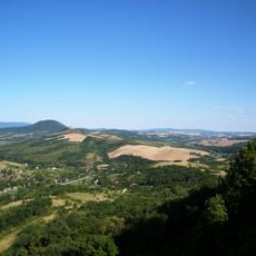
Gerecse Mountains
9.7 km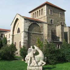
Tata Castle
7.8 km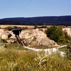
Vértesszőlős
9 km
Esterházy mansion, Tata
8.1 km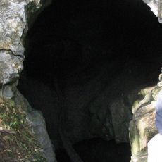
Pisznice Cave
9 km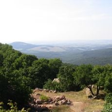
Gerecse Protected Landscape Area
6.3 km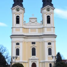
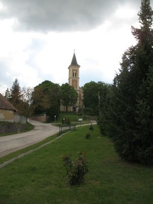
Exaltation of the Holy Cross Church
8.5 km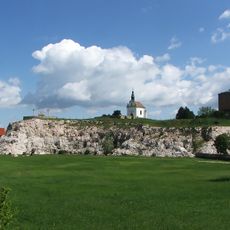
Calvary Hill in Tata
8.5 km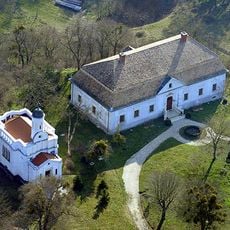
Reviczky Mansion, Süttő
5.8 km
Angyal-forrási Cave
7.2 km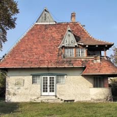
Vaszary Villa
6.9 km
Feszti Cave
7.6 km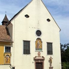
Saint Emeric Church, Tóváros, Tata
7.4 km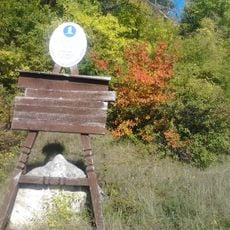
Dunaalmási Kőfejtő Természetvédelmi Terület
4.4 km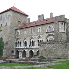
Kuny Domokos Museum
7.8 km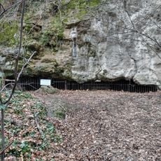
Tatai porhanyóbánya Cave
8.4 km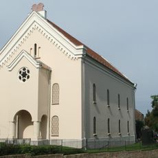
Synagogue Tata
8.2 km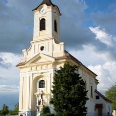
Catholic church in Baj
6.4 km
Statue of Saint John of Nepomuk
7.7 km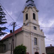
Saint Anthony of Padua Church
10.3 km
Malom utcai Cave
7.5 km
Parná čerpacia stanica, stanica čerpacia
5.8 km
Református templom (Tata)
8.7 km
Christ the King Church (Naszály)
9.1 km
Reformated church in Naszály
8.8 km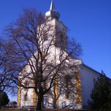
Kalvínsky kostol
6.3 km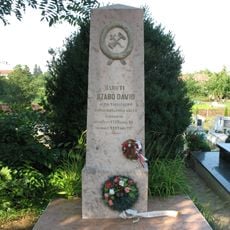
Básnik, prekladateľ
7 kmReviews
Visited this place? Tap the stars to rate it and share your experience / photos with the community! Try now! You can cancel it anytime.
Discover hidden gems everywhere you go!
From secret cafés to breathtaking viewpoints, skip the crowded tourist spots and find places that match your style. Our app makes it easy with voice search, smart filtering, route optimization, and insider tips from travelers worldwide. Download now for the complete mobile experience.

A unique approach to discovering new places❞
— Le Figaro
All the places worth exploring❞
— France Info
A tailor-made excursion in just a few clicks❞
— 20 Minutes