Enable Location

We need your location to show you interesting places around you

Discover nearby places

Find interesting locations and hidden gems around you

Precise directions

Get accurate directions and distances to places

Your location is never shared with other users. It's only used when you tap the location button.

Gerecse Mountains

Log in to your account

Start exploring — it's free

Trusted by 62,061 travelers worldwide

Continue with Google
Continue with Apple
or

We will send you a code to connect

By continuing, you accept our Terms and Conditions and our Privacy Policy

Check your inbox

We've sent a pincode in your inbox. Please enter the code below.

Gerecse Mountains, Mountain range in Komárom-Esztergom County, Hungary.

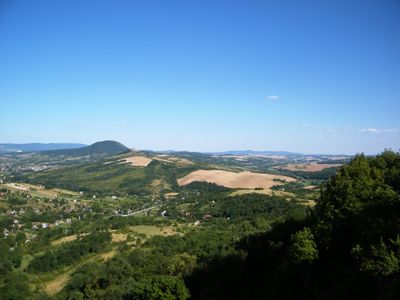
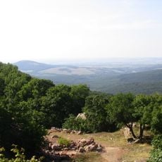
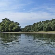
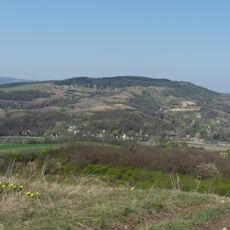
The Gerecse Mountains form a mountain range in Komárom-Esztergom County, stretching between Tatabánya and the Danube River, with its highest point reaching around 633 meters. The range covers a significant area with varied terrain and natural features throughout.

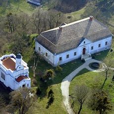
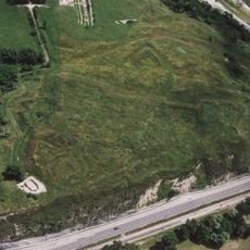
The Gerecse area preserves archaeological evidence from the Battle of Pusztamarót in 1526, which took place during the Ottoman expansion into Hungary. This battle marks an important moment in the region's past.

The name Gerecse comes from the Croatian word 'gore,' showing the historical ties between Hungarian and Croatian mountain terminology. Local people still recognize these linguistic roots when they refer to the hills around them.

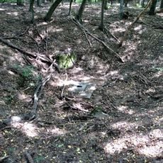
The area features marked hiking trails for walkers and nature observers with varying difficulty levels and viewpoints. Average temperatures above 350 meters elevation are around 9.5 degrees Celsius, which helps when planning your visit.

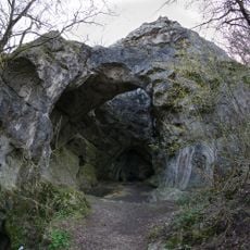
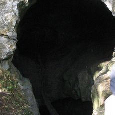
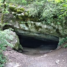
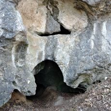
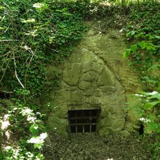
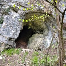
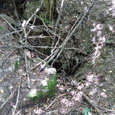
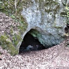
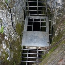
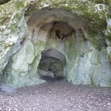
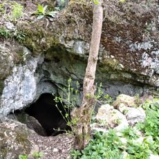
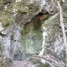
The range consists mainly of limestone formations that create a landscape covered by forest at about 70 percent. Oak, hornbeam, and beech trees dominate this forest cover and shape the area's character significantly.

The community of curious travelers

AroundUs brings together thousands of curated places, local tips, and hidden gems, enriched daily by 60,000 contributors worldwide.

Start exploring
Elevation above the sea
633 m
Made from material
limestone
Part of
Dunazug Mountains
GPS coordinates
47.70875,18.50919
Latest update
December 7, 2025 19:26
« Gerecse Mountains - Mountain range in Komárom-Esztergom County, Hungary » is provided by Around Us (aroundus.com). Images and texts are derived from Wikimedia project under a Creative Commons license. You are allowed to copy, distribute, and modify copies of this page, under the conditions set by the license, as long as this note is clearly visible.

Discover hidden gems everywhere you go!

From secret cafés to breathtaking viewpoints, skip the crowded tourist spots and find places that match your style. Our app makes it easy with voice search, smart filtering, route optimization, and insider tips from travelers worldwide. Download now for the complete mobile experience.

Around Us App Screenshot

A unique approach to discovering new places

Le Figaro

All the places worth exploring

France Info

A tailor-made excursion in just a few clicks

20 Minutes

Around Us
Travel Guide & Maps
Download

Send to your phone

QR Code
1

Open the camera app on your mobile.

2

Point at the QR code with your camera. A notification will appear.

3

Tap the notification to open the link.