
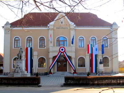
Mezőkeresztes, town in Hungary
Location: Mezőkövesd District
Website: http://mezokeresztes.hu
GPS coordinates: 47.82537,20.68808
Latest update: April 17, 2025 06:26
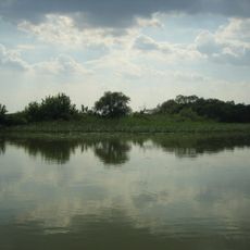
Lake Tisza
25.1 km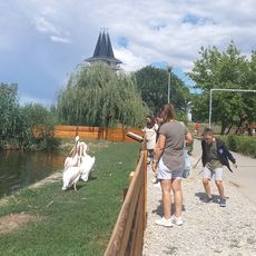
Lake Tisza Ecocentre
20 km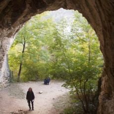
Suba Hole
19.1 km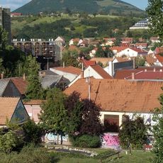
Nagy-Eged Hill
23.6 km
Egri Termálfürdő
24.2 km
Odorvár
22.3 km
Archbishop's Garden
24.3 km
Tisza-tavi madárrezervátum
17.8 km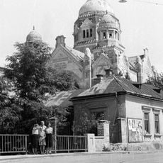
Neological synagogue in Eger
24.5 km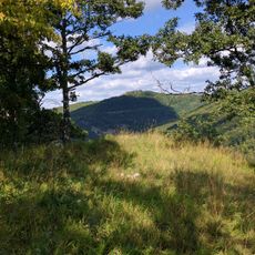
Füzérkő Vára
23.4 km
Hajnóczy Cave
21.9 km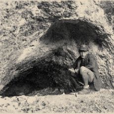
Farkas-kő Cave
17 km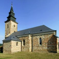
Saint Martin church in Bogács
14.6 km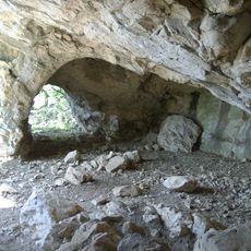
Kecskés-galya Cave
18.5 km
Zone de protection paysagère de la campagne de Borsod
12 km
Füzér-kő Cave
23.2 km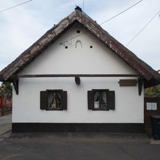
Kisjankó Bori Memorial House
8.9 km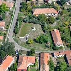
Árpád Castle, Szihalom
17 km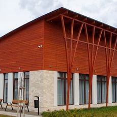
Bükkábrány Mining Museum
6.8 km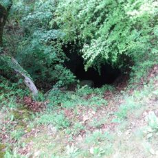
Zsendice Cave
18.2 km
Léleklyuk Cave
17.9 km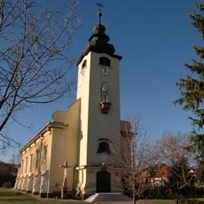
Saint Louis Church in Eger
23.9 km
Tiszacsegei Termálstrand
24.4 km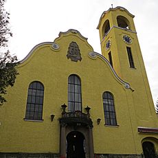
Reformed Church in Eger
24.5 km
Kiss Pál Múzeum
23.1 km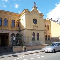
Synagogue Gallery, Eger
24.5 km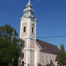
Református templom (Mezőkeresztes)
193 m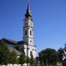
Saint Ladislaus Church, Mezőkövesd
8.6 kmVisited this place? Tap the stars to rate it and share your experience / photos with the community! Try now! You can cancel it anytime.
Discover hidden gems everywhere you go!
From secret cafés to breathtaking viewpoints, skip the crowded tourist spots and find places that match your style. Our app makes it easy with voice search, smart filtering, route optimization, and insider tips from travelers worldwide. Download now for the complete mobile experience.

A unique approach to discovering new places❞
— Le Figaro
All the places worth exploring❞
— France Info
A tailor-made excursion in just a few clicks❞
— 20 Minutes