Tápió–Hajta Vidéke Tájvédelmi Körzet, Protected landscape area in eastern Pest County, Hungary
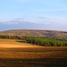
Tápió-Hajta Protected Landscape Area is a nature reserve featuring steep hills made of loess soil, expansive sand dunes, and wetlands located where three major Hungarian geographical regions meet. The terrain contains multiple distinct habitats that create a varied and complex natural landscape.
The protected area received its official designation in 1998, with a portion designated for strict conservation requiring special access permissions. This recognition marked a turning point in safeguarding the region's distinctive natural habitats.
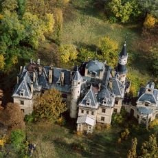
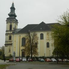
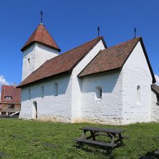
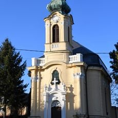
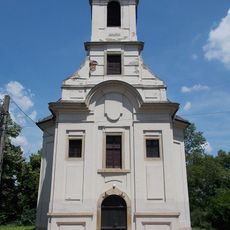
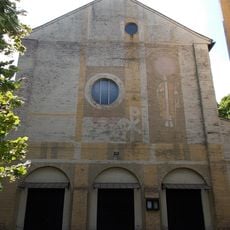
The area's name comes from the Tápió and Hajta watercourses that feed its marshes. Wooded and grassy parts of the reserve hide remains of old earthworks, ramparts, monasteries and churches, such as the traces of Csörsz árka, the pécel Vár-hegy and the valkó Szent Pál-hegy. The pilgrimage site at Máriabesnyő grew from a bone-carved Mary statue found in 1759 during the church's construction.
The reserve consists of 21 separate units spread across the Tápió valley, in the outskirts of Farmos, Gomba, Nagykáta, Szentmártonkáta, Tápióbicske, Tápiógyörgye, Tápióság, Tápiószecső and Újszász, 40–70 km east-southeast of Budapest. The largest continuous part lies between Farmos and Nagykáta, where the marshes fed by the Hajta stream attract nesting and feeding birds. The Felső-Tápió valley section runs from Tápiószecső to Tápiószentmárton and holds the reserve's only larger open water, the Tápiószecső fishpond.
The Nyík-rét, the reserve's largest continuous unit between Farmos and Nagykáta, is fed by the Hajta stream and holds the country's largest stand of Hungarian iris. The strictly protected great egret and the greylag goose nest in its marshes, and the black stork can be seen there all year.
The community of curious travelers
AroundUs brings together thousands of curated places, local tips, and hidden gems, enriched daily by 94,134 contributors worldwide.