Ófalu, Historic district in Érd, Hungary
Ófalu is the south-eastern quarter of Érd, set on low floodplain terrain between Budapest and the Danube. Its southern edge holds the Minaret, the ruins of the Szapáry castle, the Kálvária hill and the 172-metre Kakukk hill, while the 163-metre Sánc hill separates it from the old town of Százhalombatta. A cellar row built along the Roman military road, the Mély út, divides the Kálvária and Kakukk hills.
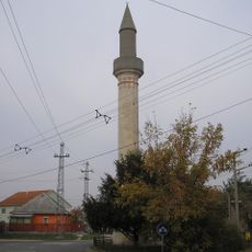
Ófalu is first mentioned in charters in 1243. In 1526, before the Battle of Mohács, the Polish infantry force led by Leonard Gnojeński joined King Lajos II's army here. After 1541 the area passed to the Ottomans; Hamza Bey, who governed Érd from the 1550s, built palisade forts in 1566, and the mosque and still-standing minaret were built in the 17th century. In September 1686 Charles V of Lorraine retook Érd for the Habsburgs.
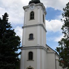
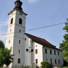
The name Ófalu means "Old Village", distinguishing this quarter from Újfalu, the "New Village" to its west. The Roman military road from Campona to Matrica ran through here, and the cellar row along the Mély út still separates Kálvária hill from Kakukk hill. The Szent Sebestyén, Szent Rókus and Szent Rozália chapel, built in 1734 in Baroque style, stands as a local landmark.
Visitors should walk slowly through the narrow streets, as they follow the hillside and can be uneven in places. Taking time to explore on foot allows you to notice the cellars beneath buildings and appreciate the mix of old and new architecture.
The Roman military road linking the camps of Campona and Matrica ran along the eastern edge of Pannonia here, and the cellar row between Kálvária and Kakukk hills later grew up along its line. The 163-metre Sánc-hegy plateau, rising between the ruins of the former Érd and Százhalombatta brickworks, separates the quarter from Százhalombatta's old town.
The community of curious travelers
AroundUs brings together thousands of curated places, local tips, and hidden gems, enriched daily by 94,668 contributors worldwide.