Enable Location

We need your location to show you interesting places around you

Discover nearby places

Find interesting locations and hidden gems around you

Precise directions

Get accurate directions and distances to places

Your location is never shared with other users. It's only used when you tap the location button.

Érd

Log in to your account

Start exploring — it's free

Trusted by 63,030 travelers worldwide

Continue with Google
Continue with Apple
or

We will send you a code to connect

By continuing, you accept our Terms and Conditions and our Privacy Policy

Check your inbox

We've sent a pincode in your inbox. Please enter the code below.

Discussion Reviews 2 Photos
39k Popularity

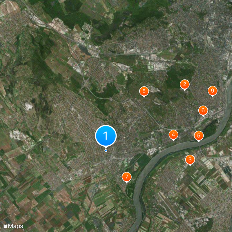
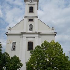
Érd, Administrative center in Pest County, Hungary.

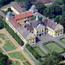
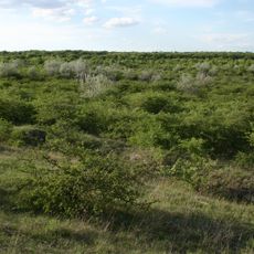
Érd is an administrative center with special city rights in Pest County, located in the Budapest metropolitan region. The town covers extensive land area and serves as a significant hub for the surrounding communities.

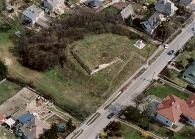
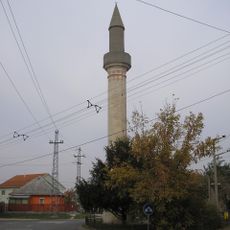
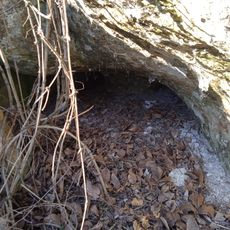
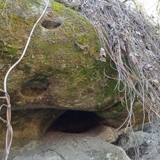
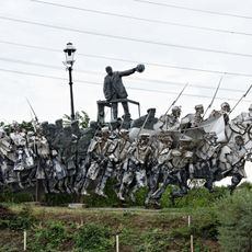
The settlement was first documented in written records around 1243 as a Hungarian community. Ottoman forces took control during the 1500s, marking a significant shift in the town's development until their eventual withdrawal.

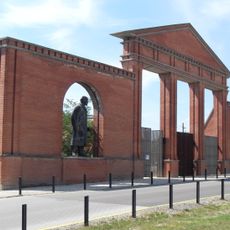
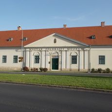
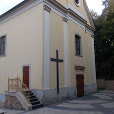
The town has maintained a Hungarian Geographical Museum where visitors can explore exhibits about explorers and research from across the country. Local communities gather in public spaces that reflect the region's connection to education and discovery.

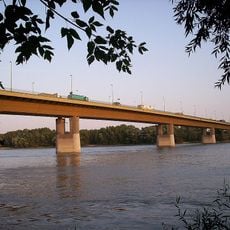
The town connects to Budapest and surrounding areas through bus lines and railway stations available throughout the city. These transport links make it easy to explore the region and reach nearby destinations.

A 17th-century Ottoman minaret still stands in the town, one of only three such structures remaining in all of Hungary. This tower represents a rare reminder of the long period of Ottoman influence in the region.

The community of curious travelers

AroundUs brings together thousands of curated places, local tips, and hidden gems, enriched daily by 60,000 contributors worldwide.

Start exploring
Location
Location
Shares border with
Százhalombatta, Ráckeresztúr, Martonvásár, Tárnok, Sóskút, Biatorbágy, Törökbálint, Diósd, Budapest, Halásztelek, Tököl
Website
GPS coordinates
47.38333,18.91667
Latest update
December 17, 2025 09:20
Reviews
Share your experience

No review yet

Discussions
Start a discussion...

No discussion yet

« Érd - Administrative center in Pest County, Hungary » is provided by Around Us (aroundus.com). Images and texts are derived from Wikimedia project under a Creative Commons license. You are allowed to copy, distribute, and modify copies of this page, under the conditions set by the license, as long as this note is clearly visible.

Discover hidden gems everywhere you go!

From secret cafés to breathtaking viewpoints, skip the crowded tourist spots and find places that match your style. Our app makes it easy with voice search, smart filtering, route optimization, and insider tips from travelers worldwide. Download now for the complete mobile experience.

Around Us App Screenshot

A unique approach to discovering new places

Le Figaro

All the places worth exploring

France Info

A tailor-made excursion in just a few clicks

20 Minutes

Around Us
Travel Guide & Maps
Download

Send to your phone

QR Code
1

Open the camera app on your mobile.

2

Point at the QR code with your camera. A notification will appear.

3

Tap the notification to open the link.