
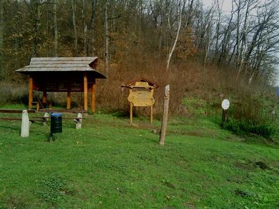
Siroki Nyírjes-Tó Protected Area, natuurgebied in Sirok, Hongarije
Location: Sirok
Location: Heves County
GPS coordinates: 47.92990,20.18540
Latest update: April 9, 2025 19:22
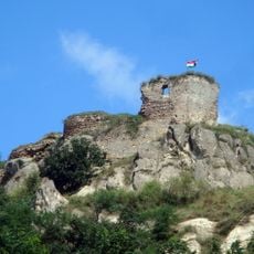
Castle of Sirok
1.3 km
Basilica in Eger
14.4 km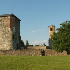
Castle of Kisnána
9.3 km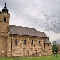
Saint Martin Church, Feldebrő
13.9 km
Kékestető TV Tower
14.4 km
Egri Road Beatles Múzeum
14.1 km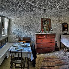
Cave Apartment, Open Air Museum
13 km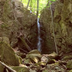
Ilona Valley Waterfall
10.7 km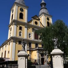
Cistercian Church (Eger)
14.3 km
Dobó István Grammar School
14.3 km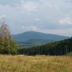
Mátra Protected Landscape Area
13.4 km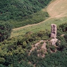
Kanázs Castle
7.2 km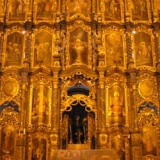
Saint Nicholas Church, Eger
14 km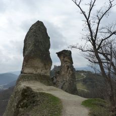
Friar & Nun Rocks
1.6 km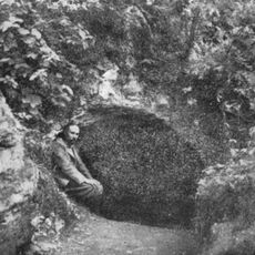
Berva Cave
14.3 km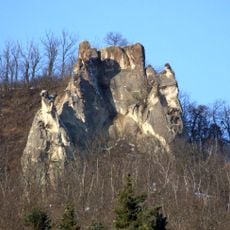
Törökasztal
1.7 km
The pipe organ of the Eger Basilica
14.4 km
Dr. Markhot Ferenc utca 2, Eger (Kálvin house)
14.4 km
Church of the Nativity of Saint John the Baptist, Szarvaskő
12.6 km
Holy Name of Mary Church, Egerszalók
11.9 km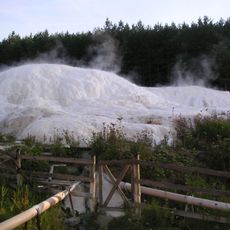
Egerszalók Travertine
14.2 km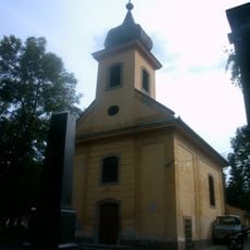
Cemetery chapel in Hatvani Cemetery, Eger
14 km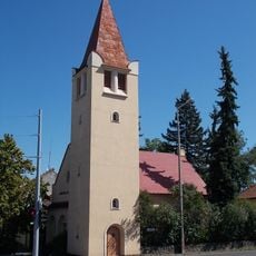
Lutheran church in Eger
14 km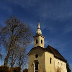
Church of the Visitation, Tarnaszentmária
5.9 km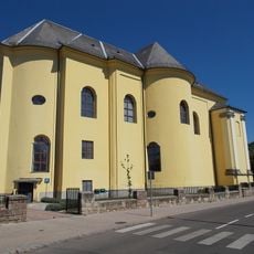
Trinitarian Church, Eger
14.3 km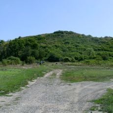
Castle Hill of Verpelét
7.9 km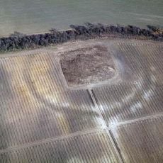
Földvár
7.1 km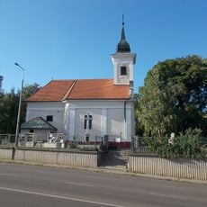
Church of the Nativity of the Virgin Mary in Eger
13.9 kmReviews
Visited this place? Tap the stars to rate it and share your experience / photos with the community! Try now! You can cancel it anytime.
Discover hidden gems everywhere you go!
From secret cafés to breathtaking viewpoints, skip the crowded tourist spots and find places that match your style. Our app makes it easy with voice search, smart filtering, route optimization, and insider tips from travelers worldwide. Download now for the complete mobile experience.

A unique approach to discovering new places❞
— Le Figaro
All the places worth exploring❞
— France Info
A tailor-made excursion in just a few clicks❞
— 20 Minutes